Jacksonburg | |
|---|---|
Census-designated place (CDP) | |
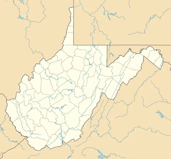 Jacksonburg Location within the state of West Virginia | |
| Coordinates: 39°31′56″N 80°38′30″W / 39.53222°N 80.64167°W | |
| Country | United States |
| State | West Virginia |
| County | Wetzel |
| Area | |
| • Total | 1.501 sq mi (3.89 km2) |
| • Land | 1.481 sq mi (3.84 km2) |
| • Water | 0.020 sq mi (0.05 km2) |
| Population | |
| • Total | 182 |
| • Density | 120/sq mi (47/km2) |
| Time zone | UTC-5 (Eastern (EST)) |
| • Summer (DST) | UTC-4 (EDT) |
Jacksonburg is a census-designated place (CDP) in Wetzel County, West Virginia, United States. It lies at an elevation of 748 feet (228 m).[3] As of the 2010 census, its population was 182.[2]
References
- ↑ "US Gazetteer files: 2010, 2000, and 1990". United States Census Bureau. February 12, 2011. Retrieved April 23, 2011.
- 1 2 "U.S. Census website". United States Census Bureau. Retrieved May 14, 2011.
- ↑ U.S. Geological Survey Geographic Names Information System: Jacksonburg, West Virginia
Municipalities and communities of Wetzel County, West Virginia, United States | ||
|---|---|---|
| Cities |  Map of West Virginia highlighting Wetzel County | |
| Towns | ||
| CDPs | ||
| Unincorporated communities |
| |
| Ghost towns | ||
| Footnotes | ‡This populated place also has portions in an adjacent county or counties | |
This article is issued from Wikipedia. The text is licensed under Creative Commons - Attribution - Sharealike. Additional terms may apply for the media files.