Jaganpur | |
|---|---|
Village | |
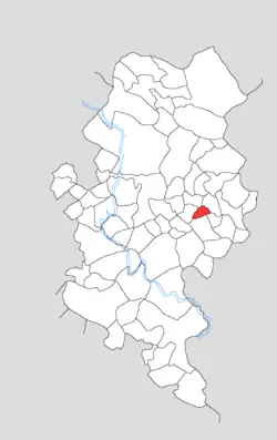 Map showing Jaganpur in Kotla block | |
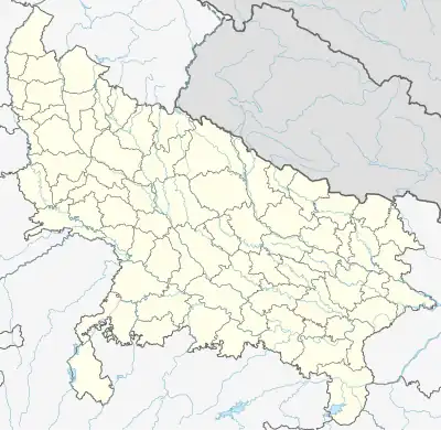 Jaganpur Location in Uttar Pradesh, India | |
| Coordinates: 27°16′26″N 78°26′40″E / 27.27399°N 78.44455°E | |
| Country | India |
| State | Uttar Pradesh |
| District | Firozabad |
| Tehsil | Firozabad |
| Area | |
| • Total | 0.676 km2 (0.261 sq mi) |
| Population (2011)[1] | |
| • Total | 0 |
| • Density | 0.0/km2 (0.0/sq mi) |
| Time zone | UTC+5:30 (IST) |
Jaganpur (Jaganpur) is an abandoned village in Kotla block of Firozabad district, Uttar Pradesh. As of 2011, it has a population of 0, although the land remains under human use.
Demographics
The 2011 census recorded Jaganpur with a population of 0,[1]: 102 as did the 1981 census.[2]: 188–9
The 1961 census, however, recorded Jaganpur as being inhabited: it comprised 1 hamlet, with a total population of 182 people (104 male and 78 female), in 32 households and 29 physical houses. The area of the village was given as 162 acres.[3]: xc
Land use
According to the 2011 census, Jaganpur has a total area of 67.6 hectares, of which 64.2 were currently farmland, 2.3 were fallow lands, and 1 was under non-agricultural use. There were no orchards, pastures, or forests on village lands.[1]: 102, 108
References
- 1 2 3 4 "Census of India 2011: Uttar Pradesh District Census Handbook - Firozabad, Part A (Village and Town Directory)" (PDF). Census of India. Retrieved 19 June 2023.
- ↑ Census 1981 Uttar Pradesh: District Census Handbook Part XIII-B: Village & Town Directory, District Agra (PDF). 1982. Retrieved 25 July 2023.
- ↑ Census 1961: District Census Handbook, Uttar Pradesh (22 - Agra District) (PDF). Lucknow. 1965. Retrieved 25 December 2021.
{{cite book}}: CS1 maint: location missing publisher (link)