Jakhai | |
|---|---|
Village | |
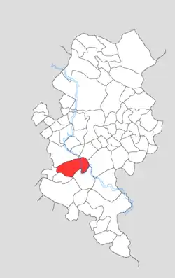 Map showing Jakhai in Kotla block | |
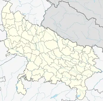 Jakhai Location in Uttar Pradesh, India | |
| Coordinates: 27°14′23″N 78°23′14″E / 27.23983°N 78.38716°E | |
| Country | India |
| State | Uttar Pradesh |
| District | Firozabad |
| Tehsil | Firozabad |
| Area | |
| • Total | 7.99 km2 (3.08 sq mi) |
| Population (2011)[1] | |
| • Total | 7,719 |
| • Density | 970/km2 (2,500/sq mi) |
| Time zone | UTC+5:30 (IST) |
| PIN | 283203 |
Jakhai (Devanagari: जाखई Jākhaī) is a village in Kotla block of Firozabad district, Uttar Pradesh. As of 2011, it has a population of 7,719, in 1,213 households.
Demographics
As of 2011, Jakhai had a population of 7,719, in 1,213 households.[1]: 102 This population was 54.4% male (4,201) and 45.6% female (3,518). The 0-6 age group numbered 1,270 (696 male and 574 female), making up 16.5% of the total population. 2,456 residents were members of Scheduled Castes, or 31.8% of the total.[2]: 98–9
The 1981 census recorded Jakhai as having a population of 4,340 people (2,376 male and 1,964 female), in 697 households and 697 physical houses.[3]: 190–1
The 1961 census recorded Jakhai as comprising 6 hamlets, with a total population of 2,807 people (1,522 male and 1,285 female), in 503 households and 402 physical houses. The area of the village was given as 2,051 acres and it had a post office and medical practitioner at that point.[4]: xcii
Infrastructure
As of 2011, Jakhai had 2 primary schools; it did not have any healthcare facilities. Drinking water was provided by tap, hand pump, and tube well/borehole; there were no public toilets. The village had a sub post office but no public library; there was at least some access to electricity for residential and agricultural (but not commercial) purposes. Streets were made of both kachcha and pakka materials.[1]: 102–7
References
- 1 2 3 4 "Census of India 2011: Uttar Pradesh District Census Handbook - Firozabad, Part A (Village and Town Directory)" (PDF). Census of India. Retrieved 19 June 2023.
- ↑ "Census of India 2011: Uttar Pradesh District Census Handbook - Firozabad, Part B (Village and Town Wise Primary Census Abstract)" (PDF). Census of India. Retrieved 19 June 2023.
- ↑ Census 1981 Uttar Pradesh: District Census Handbook Part XIII-B: Village & Town Directory, District Agra (PDF). 1982. Retrieved 25 July 2023.
- ↑ Census 1961: District Census Handbook, Uttar Pradesh (22 - Agra District) (PDF). Lucknow. 1965. Retrieved 25 December 2021.
{{cite book}}: CS1 maint: location missing publisher (link)