Jambur | |
|---|---|
village | |
 Jambur  Jambur | |
| Coordinates: 21°08′07″N 70°52′03″E / 21.13528°N 70.86750°E | |
| Country | India |
| State | Gujarat |
| District | Girsomnath |
| Population | |
| • Total | about 5,000 |
| Languages | |
| • Official | Gujarati, Hindi |
| Time zone | UTC+5:30 (IST) |
| PIN | 362150 |
| Telephone code | 02877 |
| Vehicle registration | GJ 32- |
| Vidhan Sabha constituency | Talala (Vidhan Sabha constituency) |
| Lok Sabha constituency | Junagadh (Lok Sabha constituency) |
| Climate | Hot and humid (Köppen) |
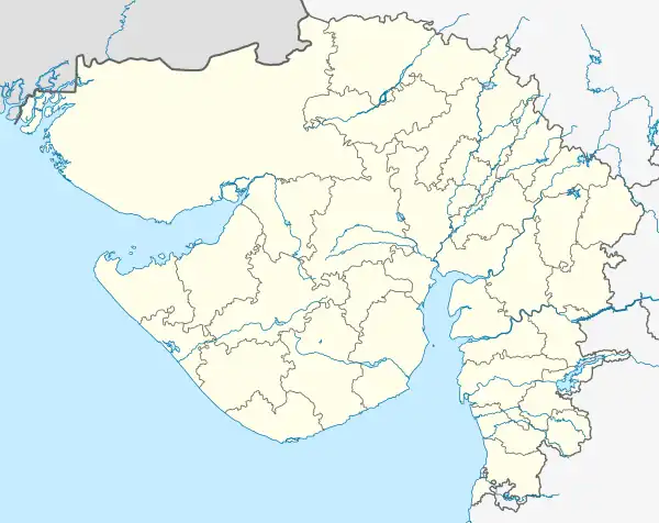
Jambur is a village in Gir Somnath district of Gujarat, India. It is located near Gir Forest National Park,[1] 68 kilometres (42 mi) south of the district headquarters at Junagadh and 377 kilometres (234 mi) from the state capital of Gandhinagar. Jambur is known for being home for centuries to some members of the African-origin Siddi tribe.[2][3][4]
See also
References
- ↑ Seervai, Shanoor (24 March 2013). "Uncovering India's Siddi Community". The Wall Street Journal.
- ↑ "Siddis lament lack of education, opportunities for them in India". Livemint. 5 March 2008.
- ↑ Sheth, Priya (2 November 2011). "African by origin, Indian by nationality and Gujarati by speech". The Hindu Business Line.
- ↑ Wal, Aradhna (13 April 2013). "'I was an outsider from the day I entered Jambur, and still am'". Tehelka. 10 (15).
This article is issued from Wikipedia. The text is licensed under Creative Commons - Attribution - Sharealike. Additional terms may apply for the media files.