Janigog | |
|---|---|
Village | |
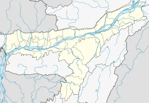
 Janigog Map of Assam  Janigog Janigog (India) | |
| Coordinates: 26°24′33″N 91°27′03″E / 26.4091°N 91.4507°E | |
| Country | |
| State | Assam |
| District | Nalbari |
| Subdivision | Nalbari |
| Area | |
| • Total | 232.12 ha (573.58 acres) |
| Population (2011) | |
| • Total | 3,795 |
| • Density | 1,600/km2 (4,200/sq mi) |
| Languages | |
| • Official | Assamese |
| Time zone | UTC+5:30 (IST) |
| Postal code | 781334[1] |
| STD Code | 03624 |
| Vehicle registration | AS-14 |
| Census code | 303965 |
Janigog is a census village in Nalbari district, Assam, India.[2][3] As per the 2011 Census of India, Janigog has a total population of 3,795 people including 1,991 males and 1,804 females.[4]
Janigog has a history of being militancy affected area.[5]
References
- ↑ "Janigog Village PIN code". villageatlas.com. Retrieved 18 July 2022.
- ↑ Assam (India) (1963). "The Assam Gazette". The Assam Gazette: 2796 – via WorldCat.
- ↑ Mahanta, Shakuntala; Twaha, A. I. (25 August 2013). "Presentational focus realisation in nalbaria variety of assamese". Interspeech 2013. pp. 296–299. doi:10.21437/interspeech.2013-87.
- ↑ "POPULATION BREAKUP AS PER CENSUS-2011" (PDF). Government of Assam | Nalbari District. Archived (PDF) from the original on 3 July 2022. Retrieved 18 July 2022.
- ↑ Kashyap, Samudra Gupta (18 April 2014). "In ULFA's former bastion rises new opportunity". The Indian Express. Retrieved 18 July 2022.
This article is issued from Wikipedia. The text is licensed under Creative Commons - Attribution - Sharealike. Additional terms may apply for the media files.