Jasenovi Potoci
Јасенови Потоци | |
|---|---|
Village and Settlement | |
 Jasenovi Potoci | |
| Coordinates: 44°17′21″N 16°51′30″E / 44.2892°N 16.8583°E | |
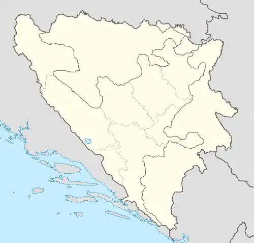
| Country | Bosnia and Herzegovina |
| Entity | Republika Srpska |
Jasenovi Potoci (Serbian Cyrillic: Јасенови Потоци) is a settlement located in the Municipality of Mrkonjić Grad, of the Republika Srpska Entity in Bosnia and Herzegovina. It Borders the Livno Canton (FBiH) and is located under the Dinaric Alps.
Geography
The settlement is situated at an elevation of 758 metres (2,487 ft). One of the three springs of the Sana River can be found in the settlement area.[1]
Etymology
The Settlement's name, Jasenovi Potoci derives from local ash trees and streams which are largely prevalent in this area.[2]
Demographics
According to the official census of 1991, Jasenovi Potoci had 284 residents, all of them were Serbs.[3]
| Nationality[4][5] | 2013 | 1991 | 1981 | 1971 | 1961 |
| Serbs | 98 (100%) | 283 (99,6%) | 472 | 615 | 854 |
| Yugoslavs | 3 | ||||
| Others | 1 (0,4%) | 3 | |||
| In Total: | 284 | 475 | 618 | 854 |
Gallery
References
- ↑ "Ljepotica Sana jedna od najljepših u BiH". inmedia.ba (in Bosnian). 2021-01-26. Retrieved 2022-03-23.
- ↑ Udovčić 2007, p. 20.
- ↑ Национални састав становништва — Резултати за Републику по општинама и насељеним мјестима 1991, статистички билтен бр. 234, Издање Државног завода за статистику Републике Босне и Херцеговине, Сарајево. ^
- ↑ Савезни завод за статистику и евиденцију ФНРЈ и СФРЈ: Попис становништва 1948, 1953, 1961, 1971, 1981. и 1991. године.
- ↑ "Popis 2013 u BiH". www.statistika.ba. Retrieved 2022-03-26.
Literature
Udovčić, Rade (2007). Baraći i Baraćani (in Serbian). Mrkonjić Grad: JU Kulturni Centar, Petar Kočić. ISBN 978-99938-888-0-2.
This article is issued from Wikipedia. The text is licensed under Creative Commons - Attribution - Sharealike. Additional terms may apply for the media files.