Jerseydale | |
|---|---|
 Jerseydale Location in California  Jerseydale Jerseydale (the United States) | |
| Coordinates: 37°33′49″N 119°51′27″W / 37.56361°N 119.85750°W | |
| Country | United States |
| State | California |
| County | Mariposa County |
| Elevation | 3,779 ft (1,152 m) |
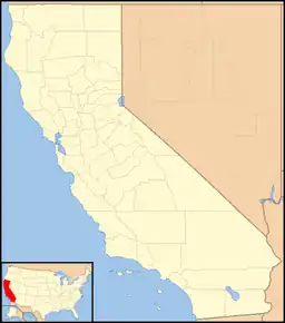
Jerseydale is an unincorporated community in Mariposa County, California.[1] It is located 9 miles (14 km) south-southwest of El Portal,[2] at an elevation of 3779 feet (1152 m).[1]
A post office operated at Jerseydale from 1889 to 1930.[2]
Jerseydale was predominantly a gold mining community during the latter part of the nineteenth century.[3] In later years it became a significant apple-growing district.[4] Jerseydale is now the site of a Forest Service station and a fire station. The area is known for exceptionally heavy rainfall during winter storms.[5]
References
- 1 2 3 U.S. Geological Survey Geographic Names Information System: Jerseydale, California
- 1 2 Durham, David L. (1998). California's Geographic Names: A Gazetteer of Historic and Modern Names of the State. Clovis, Calif.: Word Dancer Press. p. 788. ISBN 1-884995-14-4.
- ↑ Clark, William B. (1970). Gold Districts of California. Sacramento, CA: Califoria Division of Mines and Geology. p. 80.
- ↑ "Mariposa apples lead demand in valley stores". The Fresno Bee. Fresno, CA. November 25, 1934. Retrieved December 9, 2023.
- ↑ Shields, Allan (December 24, 1983). "Mariposa rainfall: 250 feet in 95 years". Merced Sun-Star. Merced, CA. Retrieved December 8, 2023.
This article is issued from Wikipedia. The text is licensed under Creative Commons - Attribution - Sharealike. Additional terms may apply for the media files.
