Jhundpura
jhandu Rawat | |
|---|---|
city | |
 Jhundpura Location in Madhya Pradesh, India 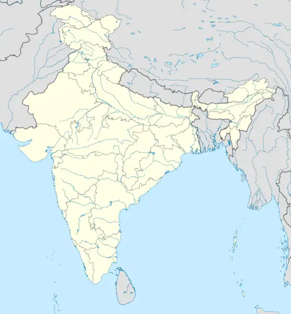 Jhundpura Jhundpura (India) | |
| Coordinates: 26°20′24″N 77°32′24″E / 26.34000°N 77.54000°E | |
| Country | |
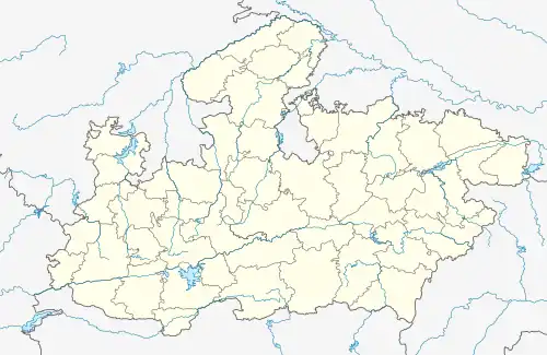
| State | Madhya Pradesh |
| District | Morena |
| Founded by | jhandu Rawat |
| Government | |
| • Type | democratic |
| • Body | municipalities |
| Area | |
| • Total | 25 km2 (10 sq mi) |
| Elevation | 177 m (581 ft) |
| Population (2001) | |
| • Total | 8,110 |
| • Density | 324/km2 (840/sq mi) |
| Languages | |
| • Official | Hindi |
| Time zone | UTC+5:30 (IST) |
| ISO 3166 code | IN-MP |
| Vehicle registration | MP |
Jhundpura is a town and a nagar panchayat in Morena district, in the Chambal Division, in the Indian state of Madhya Pradesh.
Demographics
As of 2001 India census,[1] Jhundpura had a population of 8,110. Males constitute 55% of the population and females 45%. Jhundpura has an average literacy rate of 49%, lower than the national average of 59.5%: male literacy is 62%, and female literacy is 32%. In Jhundpura, 19% of the population is under 6 years of age.
References
- ↑ "Census of India 2001: Data from the 2001 Census, including cities, villages and towns (Provisional)". Census Commission of India. Archived from the original on 16 June 2004. Retrieved 1 November 2008.
This article is issued from Wikipedia. The text is licensed under Creative Commons - Attribution - Sharealike. Additional terms may apply for the media files.