Jieshi
界石镇 | |
|---|---|
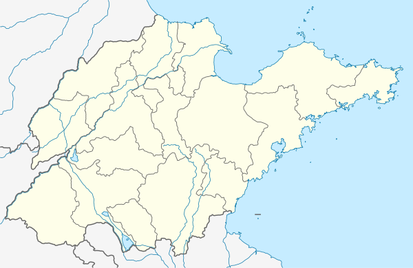
 Jieshi Location in Shandong | |
| Coordinates: 37°16′36″N 121°52′25″E / 37.2767°N 121.8735°E | |
| Country | People's Republic of China |
| Province | Shandong |
| Prefecture-level city | Weihai |
| District | Wendeng |
| Area | |
| • Total | 186.4 km2 (72.0 sq mi) |
| Elevation | 44 m (144 ft) |
| Population (2010)[1] | |
| • Total | 32,300 |
| • Density | 170/km2 (450/sq mi) |
| Time zone | UTC+8 (China Standard) |
Jieshi (simplified Chinese: 界石镇; traditional Chinese: 界石鎮; pinyin: Jièshí Zhèn) is a town under the administration of Wendeng District, eastern Shandong province, China.
History
In its present form, it was formed in 2001.
Location
Jieshi is located 19 kilometres (12 mi) west-northwest of central Wendeng. Within Wendeng, it borders the town of Gejia to the south.[1] It also borders Huancui District to the north and Yantai City's Muping District to the west. The town oversees 65 administrative villages (行政村) and 88 natural villages (自然村).
Jieshi sits in a basin surrounded on four sides by low-lying mountains, among them the Kunyu Mountains (昆嵛山), the primary peak of which is Mount Taibo (泰礴顶).
References
- 1 2 3 界石镇 (in Chinese). XZQH.org. 13 April 2010. Archived from the original on 17 October 2012. Retrieved 2011-07-07.
This article is issued from Wikipedia. The text is licensed under Creative Commons - Attribution - Sharealike. Additional terms may apply for the media files.