Jiménez | |
|---|---|
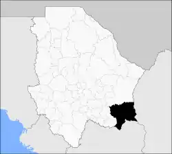 Municipality of Jiménez in Chihuahua | |
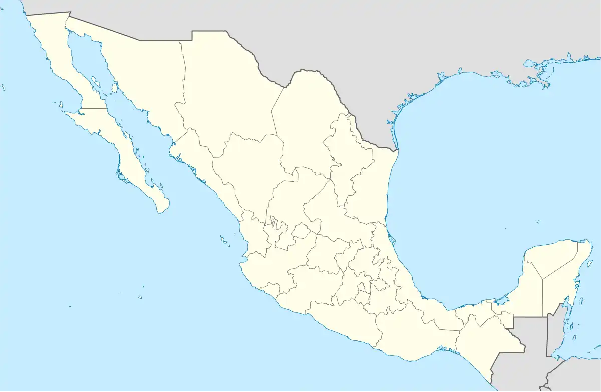 Jiménez Location in Mexico | |
| Coordinates: 27°08′N 104°55′W / 27.133°N 104.917°W | |
| Country | |
| State | Chihuahua |
| Municipal seat | José Mariano Jiménez |
| Founded | December 14, 1824 |
| Area | |
| • Total | 11,074.14 km2 (4,275.75 sq mi) |
| Population (2010) | |
| • Total | 41,265 |
Jiménez is one of the 67 municipalities of Chihuahua, in northern Mexico. The municipal seat lies at José Mariano Jiménez. The municipality covers an area of 11,074.14 km².
As of 2010, the municipality had a total population of 41,265,[1] up from 40,467 as of 2005.[2]
The municipality had 498 localities, the largest of which (with 2010 populations in parentheses) was: José Mariano Jiménez (34,281), classified as urban.[1]
Geography
Towns and villages
The municipality has 243 localities. The largest are:
| Name | Population (2005) |
|---|---|
| José Mariano Jiménez | 33,567 |
| Escalón | 757 |
| Torreoncitos | 445 |
| Libertad | 421 |
| Estación Carrillo | 359 |
| San Felipe | 346 |
| Total Municipality | 40467 |
References
- 1 2 "Jiménez". Catálogo de Localidades. Secretaría de Desarrollo Social (SEDESOL). Retrieved 23 April 2014.
- ↑ "Jiménez". Enciclopedia de los Municipios de México. Instituto Nacional para el Federalismo y el Desarrollo Municipal. Archived from the original on May 20, 2007. Retrieved October 13, 2008.
Chihuahua (capital) | ||
| Cities |  | |
| Municipalities | ||
| Metropolitan areas |
| |
| History | ||
| Sights | ||
| Other topics | ||
This article is issued from Wikipedia. The text is licensed under Creative Commons - Attribution - Sharealike. Additional terms may apply for the media files.