| Jiri River | |
|---|---|
  | |
| Native name | জিৰি নদী (Assamese) |
| Location | |
| State | Assam & Manipur |
| Physical characteristics | |
| Source | Dima Hasao District |
| • location | Assam |
| • coordinates | 25°10′42.9″N 93°20′58.3″E / 25.178583°N 93.349528°E |
| Mouth | Barak River |
• location | Jirimukh, Assam-Manipur border |
• coordinates | 24°42′42.9″N 93°04′54.7″E / 24.711917°N 93.081861°E |
| Basin features | |
| Progression | Jiri River - Barak River |
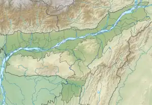
The Jiri River is a tributary of the Barak River in the Indian state of Assam. The river originates from Boro Ninglo area of Dima Hasao district. The Jiri river serves as the inter-state boundary between Manipur and Assam and joins the Barak River at Jirimukh (Jiri-mukh where mukh means mouth in Assamese language).[1][2]
References
- ↑ "Changing course of Jiri River threatens state's boundary". The People’s Chronicle. Archived from the original on 2018-10-22. Retrieved 2020-08-22.
- ↑ "River System of Assam". Ministry of Environment, Forests & Climate Change, Govt of India’s environment related portal.
This article is issued from Wikipedia. The text is licensed under Creative Commons - Attribution - Sharealike. Additional terms may apply for the media files.