Preston, about 1860

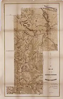
Preston's map of northwestern Oregon as of 1952.
John B. Preston was the first Surveyor General of the Oregon Territory in the Western United States.[1]
Preston was appointed by President Millard Fillmore to create a system for surveying land in the territory;[2] Preston lost his position in 1853, and "drifted into obscurity."[3]
References
- ↑ Corning, Howard M. (1989) Dictionary of Oregon History. Binfords & Mort Publishing. p. 138.
- ↑ Atwood, Kay (2008). Chaining Oregon: Surveying the Public Lands of the Pacific Northwest, 1851-1855. McDonald & Woodward. p. 11. ISBN 978-0-939923-20-5.
- ↑ Friedman, Ralph (1990). In Search of Western Oregon. Caxton Press. pp. 279–80. ISBN 978-0-87004-332-1.
External links
This article is issued from Wikipedia. The text is licensed under Creative Commons - Attribution - Sharealike. Additional terms may apply for the media files.