Jorai Railway Station | |
|---|---|
| General information | |
| Location | National Highway 31C , Jorai , Dist - Coochbehar
State: West Bengal India |
| Coordinates | 26°27′22″N 89°48′17″E / 26.4561°N 89.8048°E |
| Elevation | 53 metres (174 ft) |
| Owned by | Indian Railways |
| Operated by | Northeast Frontier Railway zone |
| Line(s) | Barauni–Guwahati line, New Jalpaiguri–New Bongaigaon section |
| Platforms | 3 |
| Tracks | 4 (broad gauge) |
| Construction | |
| Parking | Available |
| Other information | |
| Status | Functioning |
| Station code | JOQ |
| Zone(s) | Northeast Frontier Railway zone |
| Division(s) | Alipurduar |
| History | |
| Electrified | Under Process |
| Location | |
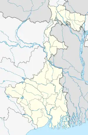 Jorai Railway Station Location in West Bengal  Jorai Railway Station Location in India | |
Jorai Railway Station serves the areas of Jorai, Cooch Behar district in the Indian state of West Bengal. This station lies on the border of West Bengal and Assam.[1] The station lies on the New Jalpaiguri–New Bongaigaon section of Barauni–Guwahati line of Northeast Frontier Railway. This station falls under Alipurduar railway division.
References
- ↑ "Departures from JOQ/Jorai (3 PFs)". indiarailinfo.com.
This article is issued from Wikipedia. The text is licensed under Creative Commons - Attribution - Sharealike. Additional terms may apply for the media files.