Jraifia | |
|---|---|
Rural Commune and Town | |
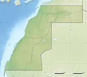
 Jraifia Location in Western Sahara  Jraifia Jraifia (Africa) | |
| Coordinates: 25°15′45″N 14°14′2″W / 25.26250°N 14.23389°W | |
| Territory | Western Sahara |
| Region | Laâyoune-Sakia El Hamra |
| Province | Boujdour Province |
| Area | |
| • Total | 818.89 km2 (316.18 sq mi) |
| Population (2014) | |
| • Total | 950 |
| • Density | 1.2/km2 (3.0/sq mi) |
| Year | Pop. | ±% |
|---|---|---|
| 2004 | 1,385 | — |
| 2014 | 950 | −31.4% |
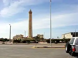
Jraifia is a small town and rural commune in the Boujdour Province of the Laâyoune-Sakia El Hamra region of the Moroccan-controlled part of Western Sahara. At the time of the 2014 census, the commune had a total population of 950 people.[1] The commune contains the RAMSAR site Côte Aftissate-Boujdour.
References
- ↑ Haut-Commissariat au plan (ed.). "Population légale des régions, provinces, préfectures, municipalités, arrondissements et communes du Royaume d'après les résultats du RGPH 2014" (xlsx). Retrieved 21 February 2019.
This article is issued from Wikipedia. The text is licensed under Creative Commons - Attribution - Sharealike. Additional terms may apply for the media files.
