| Juno Temple (Grand Canyon) | |
|---|---|
 Jupiter Temple (center) and lower elevation, black-topped ridgeline (left) of Juno Temple | |
| Highest point | |
| Elevation | 6,896 ft (2,102 m)[1] |
| Prominence | 396 ft (121 m)[1] |
| Parent peak | Jupiter Temple |
| Isolation | 1.08 mi (1.74 km)[1] |
| Coordinates | 36°09′01″N 111°53′30″W / 36.1504°N 111.8917°W |
| Geography | |
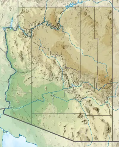
 Juno Temple Location in Arizona  Juno Temple Juno Temple (the United States) | |
| Location | Grand Canyon National Park Coconino County, Arizona, US |
| Parent range | Kaibab Plateau (Walhalla Plateau) Colorado Plateau |
| Topo map | USGS Walhalla Plateau |
| Geology | |
| Age of rock | Pennsylvanian down to Cambrian |
| Mountain type | sedimentary rock: sandstone-(prominence-cliff), siltstone, mudstone, sandstone, shale |
| Type of rock | Supai Group, Redwall Limestone, Muav Limestone, Bright Angel Shale |
| Climbing | |
| First ascent | September 3, 1961 Harvey Butchart[2] |
Juno Temple is a 6,896-elevation summit located in the eastern Grand Canyon, in Coconino County of northern Arizona, United States. It is located 1.5 miles east-northeast of the Cape Final overlook, and is about 1.0 mi north of Jupiter Temple, its nearest high neighbor. It also lies about 3.5 miles from the Colorado River, at the headwaters of the Basalt Creek and Canyon watershed, its major drainage on its east flank.
Unlike its Jupiter Temple neighbor which has a prominence of Coconino Sandstone on a long ridgeline, Juno Temple is a ridgeline of eroded Supai Group, and is stained dark, unlike the often bright, orange-reds of the common Supai Group “redbeds”.
References
- 1 2 3 "Juno Temple – 6,896' AZ". Lists of John. Retrieved January 30, 2021.
- ↑ "CONTENTdm".

Aerial view, Juno Temple centered, east aspect.
External links
Wikimedia Commons has media related to Juno Temple (Grand Canyon).
This article is issued from Wikipedia. The text is licensed under Creative Commons - Attribution - Sharealike. Additional terms may apply for the media files.