Ka'ibah
كعيبة | |
|---|---|
Village | |
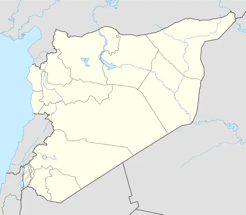 Ka'ibah Location of Ka'ibah in Syria | |
| Coordinates: 36°32′27″N 37°24′59″E / 36.5408°N 37.4164°E | |
| Country | |
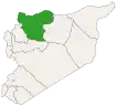
| Governorate | Aleppo |
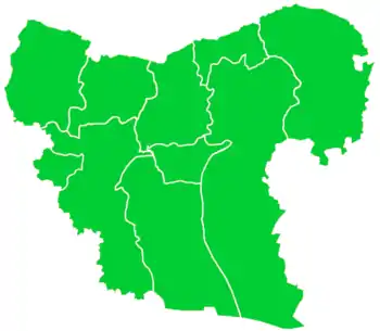
| District | Azaz |
| Subdistrict | Akhtarin |
| Elevation | 492 m (1,614 ft) |
| Population (2004)[1] | 572 |
| Time zone | UTC+2 (EET) |
| • Summer (DST) | UTC+3 (EEST) |
| Geocode | C1609 |
Ka'ibah (Arabic: كعيبة, romanized: Ka‘ībah) also spelled Kaeebeh, is a village in northern Aleppo Governorate, northwestern Syria. Situated on the eastern edge of the Queiq Plain, where the Aqil mountains begin, it is located between Akhtarin and al-Rai, about 40 kilometres (25 mi) northeast of the city of Aleppo, and 9 km (5.6 mi) south of the border with the Turkish province of Kilis.
Administratively the village belongs to Nahiya Akhtarin in A'zaz District. Nearby localities include Ghurur 4 km (2.5 mi) to the west, and al-Burj 4 km (2.5 mi) to the southeast, in the northern Aqil mountains. In the 2004 census, Ka'ibah had a population of 572.[1]
References
- 1 2 "2004 Census Data for Nahiya Akhtarin" (in Arabic). Syrian Central Bureau of Statistics. Also available in English: UN OCHA. "2004 Census Data". Humanitarian Data Exchange.
Capital: Aleppo | ||||||||||||||||||||
|   | |||||||||||||||||||
|
| ||||||||||||||||||||
| ||||||||||||||||||||
| ||||||||||||||||||||
| ||||||||||||||||||||
| ||||||||||||||||||||
| ||||||||||||||||||||
| ||||||||||||||||||||
| ||||||||||||||||||||
This article is issued from Wikipedia. The text is licensed under Creative Commons - Attribution - Sharealike. Additional terms may apply for the media files.