T05 Kagurazaka Station 神楽坂駅 | |||||||||||
|---|---|---|---|---|---|---|---|---|---|---|---|
 Nakano-bound platform, 2018 | |||||||||||
| Japanese name | |||||||||||
| Shinjitai | 神楽坂駅 | ||||||||||
| Kyūjitai | 神樂阪驛 | ||||||||||
| Hiragana | かぐらざかえき | ||||||||||
| General information | |||||||||||
| Location | 112 Yaraichō, Shinjuku City, Tokyo Japan | ||||||||||
| Operated by | |||||||||||
| Line(s) | T Tozai Line | ||||||||||
| Platforms | 2 split-level side platforms | ||||||||||
| Tracks | 2 | ||||||||||
| Construction | |||||||||||
| Structure type | Underground | ||||||||||
| Other information | |||||||||||
| Station code | T-05 | ||||||||||
| History | |||||||||||
| Opened | 23 December 1964 | ||||||||||
| Services | |||||||||||
| |||||||||||
| Location | |||||||||||
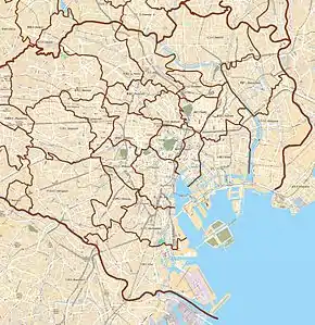
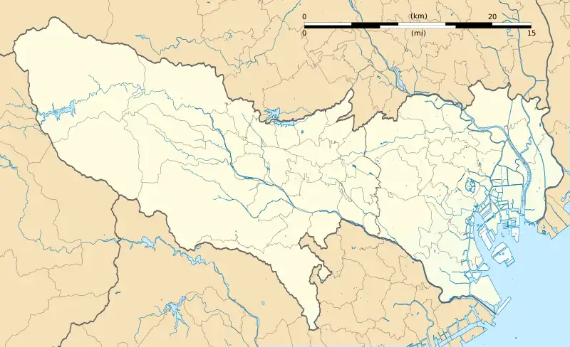
 Kagurazaka Station Location within Special wards of Tokyo  Kagurazaka Station Kagurazaka Station (Tokyo Bay and Bōsō Peninsula)  Kagurazaka Station Kagurazaka Station (Tokyo)  Kagurazaka Station Kagurazaka Station (Japan) | |||||||||||
Kagurazaka Station (神楽坂駅, Kagurazaka-eki) is a subway station in Shinjuku, Tokyo, Japan. Its station number is T-05. The station exit faces Waseda Dōri, uphill from the Kagurazaka intersection and nearby Akagi Shrine.
Line
Station layout
Kagurazaka Station is composed of two side platforms on split levels. Platform 1 is on the 3rd basement floor, whereas Platform 2 is on the 2nd basement floor.[1]
Platforms
| 1 | T Tōzai Line | for Ōtemachi, Tōyōchō, and Nishi-Funabashi JB Chuo-Sobu Line for Tsudanuma TR Toyo Rapid Railway Line for Tōyō-Katsutadai |
| 2 | T Tōzai Line | for Nakano JB Chuo-Sobu Line for Mitaka |
History
Kagurazaka Station opened on 23 December 1964, on the first stage of the Tokyo Metro Tozai Line between Takadanobaba and Kudanshita.
The station facilities were inherited by Tokyo Metro after the privatization of the Teito Rapid Transit Authority (TRTA) in 2004.[2]
References
- ↑ "Kagurazaka Station/T05 | Route/Station Information | Tokyo Metro Line". www.tokyometro.jp. Retrieved 25 August 2023.
- ↑ "「営団地下鉄」から「東京メトロ」へ" [From "Teito Rapid Transit Authority" to "Tokyo Metro"]. Tokyo Metro Online. 8 July 2006. Archived from the original on 16 May 2012. Retrieved 29 May 2022.
External links
 Media related to Kagurazaka Station at Wikimedia Commons
- Tokyo Metro station information(in English)
35°42′14.04″N 139°44′3.25″E / 35.7039000°N 139.7342361°E
This article is issued from Wikipedia. The text is licensed under Creative Commons - Attribution - Sharealike. Additional terms may apply for the media files.