| Kaituna River | |
|---|---|
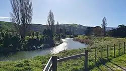 Kaituna River near State Highway 75 | |
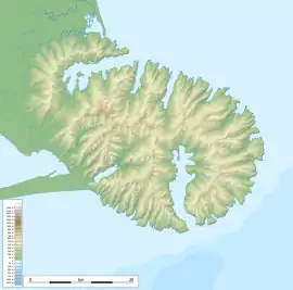 Location of the Kaituna River 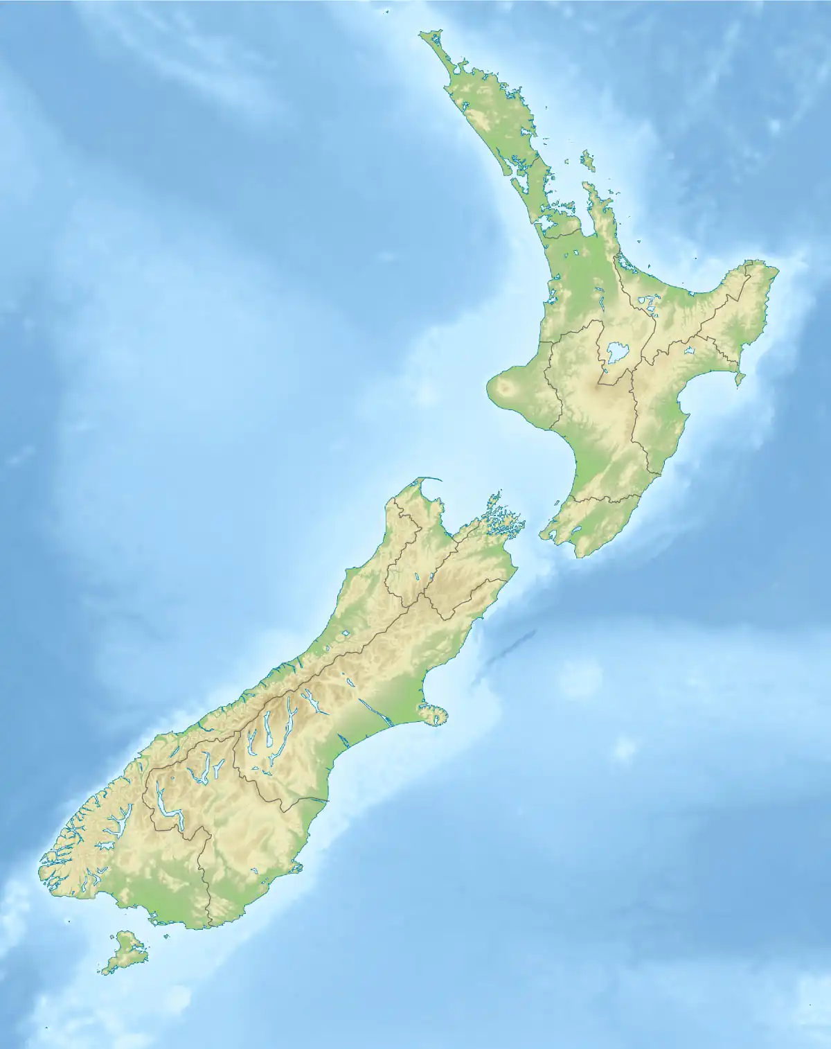 Kaituna River (Canterbury) (New Zealand) | |
| Etymology | From Māori: Kai (meaning food) and tuna (meaning eel) |
| Location | |
| Country | New Zealand |
| Region | Canterbury |
| Territorial area | Christchurch City |
| Physical characteristics | |
| Source | Mount Herbert / Te Ahu Pātiki |
| • coordinates | 43°42′06″S 172°45′31″E / 43.701745°S 172.758679°E |
| • elevation | 670 metres (2,200 ft) |
| Mouth | Lake Ellesmere / Te Waihora |
• coordinates | 43°46′42″S 172°39′04″E / 43.77836°S 172.651005°E |
• elevation | 2 metres (6 ft 7 in) |
| Length | 18 kilometres (11 mi) |
| Basin features | |
| Tributaries | |
| • left | Okana Stream |
The Kaituna River is a small watercourse[1] which drains the high ground on the Banks Peninsula before discharging into Lake Ellesmere / Te Waihora.[2] It gives its name to a steep sheep grazed valley which provides access to the walking tracks and mountain tops of Mount Bradley and Mount Herbert / Te Ahu Pātiki.
The river and its valley were a traditional ara tawhito (travel route) for Māori living on Banks Peninsula, providing a relatively easy route to connect mahinga kai (food gathering sites) at Te Waihora with the more established settlements around Whakaraupō and Koukourarata to the north.[3]
References
- ↑ "River flow data - Kaituna". Environment Canterbury. Retrieved 4 June 2023.
- ↑ "Kaituna River at Kaituna Valley Road". LAWA.
- ↑ "Cultural Atlas - Kaituna". Kā Huru Manu. Te Rūnanga o Ngāi Tahu. Retrieved 12 August 2023.
This article is issued from Wikipedia. The text is licensed under Creative Commons - Attribution - Sharealike. Additional terms may apply for the media files.