Kalagala | |
|---|---|
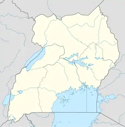
 Kalagala Map of Uganda showing the location of Kalagala. | |
| Coordinates: 00°36′47″N 32°36′56″E / 0.61306°N 32.61556°E | |
| Country | |
| Region | Central Uganda |
| District | Luweero District |
| Elevation | 1,160 m (3,810 ft) |
| Time zone | UTC+3 (EAT) |
Kalagala is a town in Central Uganda. It is one of the metropolitan areas in Luweero District. Other towns in the district include: Bamunanika, Bombo, Luweero, Wobulenzi and Ziroobwe.
Location
Kalagala is located approximately 15 kilometres (9.3 mi), by road, northeast of Bombo, the nearest large town.[1] This location lies approximately 46 kilometres (29 mi), by road, northeast of Kampala, the largest city in Uganda and the capital of that country.[2] The coordinates of the town are:00 36 47N, 32 36 56E (Latitude:0.6130; Longitude:32.6105).
Population
The exact population of Kalagala is not known, as of November 2010.
Landmarks
The landmarks within the town limits or close to the edges of town include:
- The offices of Kalagala Town Council
- The offices of Kalagala sub-county
- Kalagala Central Market
- The Main Campus of Bugema University - Located in Kalagala sub-county on Gayaza-Ziroobwe Road.
- The Fisher Branch Kalagala High School - A mixed, residential, private high school with enrollment of over 40
- 0 students.[3]
See also
References
External links
This article is issued from Wikipedia. The text is licensed under Creative Commons - Attribution - Sharealike. Additional terms may apply for the media files.
