Kamvounia
Καμβούνια | |
|---|---|
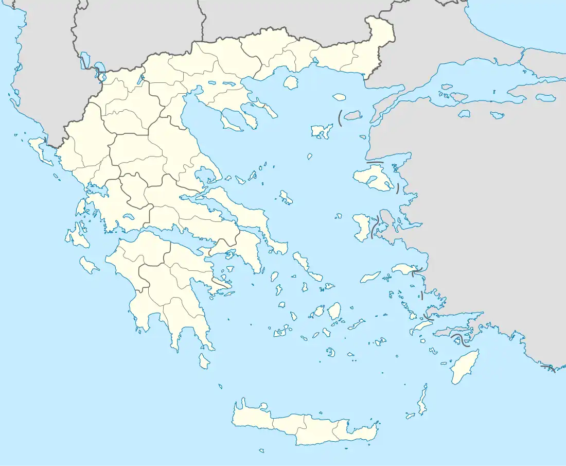 Kamvounia Location within the regional unit  | |
| Coordinates: 40°04′N 21°51′E / 40.067°N 21.850°E | |
| Country | Greece |
| Administrative region | West Macedonia |
| Regional unit | Kozani |
| Municipality | Servia |
| • Municipal unit | 149.535 km2 (57.736 sq mi) |
| Population (2011)[1] | |
| • Municipal unit | 1,539 |
| • Municipal unit density | 10/km2 (27/sq mi) |
| Time zone | UTC+2 (EET) |
| • Summer (DST) | UTC+3 (EEST) |
| Postal code | +30-2464-...-... |
| Area code(s) | 504 00 |
| Vehicle registration | KZ |
Kamvounia (Greek: Καμβούνια) is a former municipality in Kozani regional unit, West Macedonia, Greece. From 2011 to 2019 it was part of the municipality Servia-Velventos, of which it was a municipal unit.[2] It is now a municipal unit of the municipality of Servia.[3] The municipal unit has an area of 149.535 km2.[4] The 2011 census recorded 1,539 residents in the municipal unit.[1] The seat of the municipality was in Tranovalto.
References
- 1 2 "Απογραφή Πληθυσμού - Κατοικιών 2011. ΜΟΝΙΜΟΣ Πληθυσμός" (in Greek). Hellenic Statistical Authority.
- ↑ "ΦΕΚ A 87/2010, Kallikratis reform law text" (in Greek). Government Gazette.
- ↑ "Τροποποίηση του άρθρου 1 του ν. 3852/2010" [Amendment of Article 1 of l. 3852/2010] (in Greek). Government Gazette. p. 1164.
- ↑ "Population & housing census 2001 (incl. area and average elevation)" (PDF) (in Greek). National Statistical Service of Greece. Archived from the original (PDF) on 2015-09-21.
This article is issued from Wikipedia. The text is licensed under Creative Commons - Attribution - Sharealike. Additional terms may apply for the media files.