| Kantō Mountains | |
|---|---|
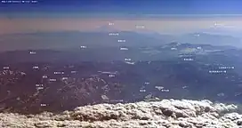 View of Kantō Mountains with Mount Fuji in the background. | |
| Highest point | |
| Peak | Kitaokusenjo |
| Elevation | 2,601 m (8,533 ft) |
| Naming | |
| Native name | |
| Geography | |
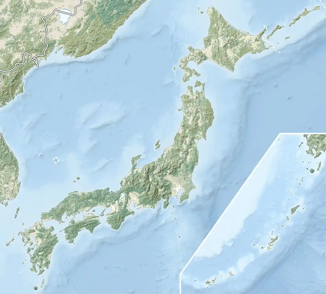 Kantō Mountains Location of Kantō Mountains in Japan | |
| Country | Japan |
| Region | Kantō region |
| Range coordinates | 35°52′N 138°40′E / 35.867°N 138.667°E |
| Parent range | Kantō Range |
Kantō Mountains or Kantō Range (Japanese: 関東山地) is a mountain range on the west side of the Kanto Plain in central Japan.

Geofeatures map of Kanto
It stretches from the western part of the Kantō region to the eastern part of the Chubu region[1][2][3] and spans Gunma, Saitama, Tokyo, Kanagawa, Nagano, and Yamanashi prefectures.[1][4] The highest peak of the mountain range is Mount Kitaokusenjo (2,601m).
See also
- Chichibu Mountains
- Chichibu Tama Kai National Park
- Karisaka pass (Japan's Three Great Passes)
- Tanzawa Mountains
References
- 1 2 第2版, 日本大百科全書(ニッポニカ),デジタル大辞泉,ブリタニカ国際大百科事典 小項目事典,百科事典マイペディア,精選版 日本国語大辞典,世界大百科事典. "関東山地とは". コトバンク (in Japanese). Retrieved 2021-05-25.
{{cite web}}: CS1 maint: multiple names: authors list (link) CS1 maint: numeric names: authors list (link) - ↑ "Kantō Range | mountains, Japan". Encyclopedia Britannica. Retrieved 2021-05-25.
- ↑ "かんとうさんち【関東山地】 | か | 辞典". 学研キッズネット (in Japanese). Retrieved 2021-05-25.
- ↑ "【関東山地】とは・意味 | エキサイト辞書". エキサイト辞書 (in Japanese). Retrieved 2021-05-25.
External links
This article is issued from Wikipedia. The text is licensed under Creative Commons - Attribution - Sharealike. Additional terms may apply for the media files.