Kanungu
Kanungu Town Council | |
|---|---|
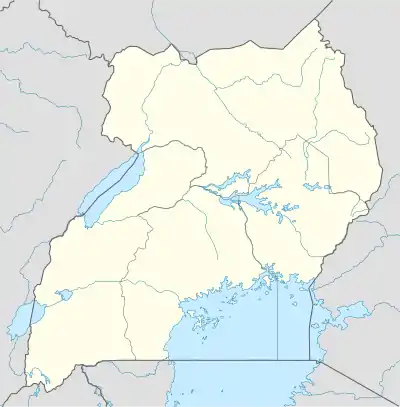
 Kanungu Location in Uganda | |
| Coordinates: 00°53′49″S 29°46′32″E / 0.89694°S 29.77556°E | |
| Country | |
| Region | Western Region |
| Sub-region | Kigezi sub-region |
| District | Kanungu District |
| Elevation | 5,515 ft (1,681 m) |
| Population (2014 Census) | |
| • Total | 15,056 |
| Climate | Aw |
Kanungu is a town in the Western Region of Uganda. It is the location of the district headquarters for Kanungu District.[1]
Location
Kanungu is located approximately 43 kilometres (27 mi), on a winding dirt road, southwest of the town of Rukungiri, the nearest large town.[2] This location is approximately 404 kilometres (251 mi), by road, southwest of Kampala, the capital and largest city of Uganda.[3] The coordinates of the town are 0°53'49.0"S, 29°46'32.0"E (Latitude:-0.896950; Longitude:29.775556).[4] Kanungu Town sits at an average elevation of 1,681 metres (5,515 ft), above sea level.[5]
Population
The 2014 national population census enumerated the population of Kanungu town at 15,056 inhabitants, with a projected population of 16,300 in July 2019.[6]
Points of interest

The following additional points of interest lie within Kanungu or near its borders: (a) the offices of Kanungu Town Council[7] (b) Kanungu central market (c) a branch of PostBank Uganda[8] (d) Kanungu Power Station, a 6.6 megawatt hydroelectric power station, also referred to as the "Ishasha Power Station".[9]
Kanungu Town Council is connected to the national electricity grid,[1] and is serviced by National Water and Sewerage Corporation.[10]
Challenges
Some of the challenges that the town faces, include poor sanitation and insufficient number of public trash bins. The town also lacks sufficient number of public toilets. The few that are available are described as "very dirty". Domestic animals, including cows and goats are allowed to wander freely in town. Other concerns include the absence of street lights and noise pollution.[11]
See also
References
- 1 2 Ssenkaaba, Stephen (18 November 2013). "Kanungu; Western Uganda's Eyesore". Kampala. Retrieved 11 June 2018.
- ↑ Globefeed.com (11 June 2018). "Distance between Rukungiri Police Central Station, Rukungiri, Uganda and Makiro, Kanungu, Uganda". Globefeed.com. Retrieved 11 June 2018.
- ↑ Globefeed.com (11 June 2018). "Distance between Uganda Post Office, Kampala Road, Kampala, Uganda and Makiro, Kanungu, Uganda". Globefeed.com. Retrieved 11 June 2018.
- ↑ Google (12 July 2015). "Location of Kanungu Town At Google Maps" (Map). Google Maps. Google. Retrieved 12 July 2015.
- ↑ Floodmap.net (2020). "Elevation of Kanungu Town, Kanungu District, Western Region, Uganda". Floodmap.net. Retrieved 17 March 2020.
- ↑ Uganda Bureau of Statistics (3 November 2019). "The population of all Ugandan cities and towns with more than 15,000 inhabitants according to census results and latest official projections: Kanungu Town". Citypopulation.de. Retrieved 17 March 2020.
- ↑ Muhereza, Robert (21 November 2015). "Kanungu Town Council faces eviction". Daily Monitor. Kampala. Retrieved 11 June 2018.
- ↑ Baraire, Patson (7 November 2010). "Kanungu District Gets Its Second Commercial Bank". New Vision. Kampala. Retrieved 7 June 2014.
- ↑ Rumanzi, Perez (22 November 2011). "Kanungu mini-hydro dam starts work today amid power outages". Daily Monitor. Kampala. Retrieved 11 June 2018.
- ↑ NWSC (31 July 2014). "Area Switch Program for Kanungu/Kihihi Area for Financial Year 2014/2015". Kampala: National Water and Sewerage Corporation (NWSC). Retrieved 11 June 2018.
- ↑ Stephen Ssenkaaba (18 November 2013). "Kanungu; Western Uganda's Eyesore". New Vision. Kampala. Retrieved 17 March 2020.
