Karaağaç | |
|---|---|
.jpg.webp) Aerial view of the industrial area between the towns of Kapaklı (upper left), Karaağaç (lower left), Çerkezköy (right), and Kızılpınar (lower right) | |
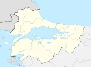
 Karaağaç Location in Turkey  Karaağaç Karaağaç (Marmara) | |
| Coordinates: 41°18′N 27°57′E / 41.300°N 27.950°E | |
| Country | Turkey |
| Province | Tekirdağ |
| District | Kapaklı |
| Elevation | 160 m (520 ft) |
| Population (2022) | 5,435 |
| Time zone | TRT (UTC+3) |
| Postal code | 59510 |
| Area code | 0282 |
Karaağaç is a neighbourhood of the municipality and district of Kapaklı, Tekirdağ Province, Turkey.[1] Its population is 5,435 (2022).[2] Before the 2013 reorganisation, it was a town (belde) in the district of Çerkezköy.[3][4] Karaağaç is 4 kilometres (2.5 mi) west of Çerkezköy. As it is true with other towns around, Karaağaç, formerly an agricultural town is now a settlement of industrial area.
References
- ↑ Mahalle, Turkey Civil Administration Departments Inventory. Retrieved 19 September 2023.
- ↑ "Address-based population registration system (ADNKS) results dated 31 December 2022, Favorite Reports" (XLS). TÜİK. Retrieved 19 September 2023.
- ↑ "Law No. 6360". Official Gazette (in Turkish). 6 December 2012.
- ↑ "Classification tables of municipalities and their affiliates and local administrative units" (DOC). Official Gazette (in Turkish). 12 September 2010.
This article is issued from Wikipedia. The text is licensed under Creative Commons - Attribution - Sharealike. Additional terms may apply for the media files.