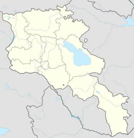
40°16′02″N 43°53′20″E / 40.26722°N 43.88889°E
Karmrashen
Կարմրաշեն | |
|---|---|
 Karmrashen | |
| Coordinates: 40°16′N 43°53′E / 40.267°N 43.883°E | |
| Country | Armenia |
| Marz (Province) | Aragatsotn |
| Time zone | UTC+4 (AMT) |
Karmrashen (Armenian: Կարմրաշեն) is an abandoned village in the southern part of the Aragatsotn Province of Armenia, south of the Ashnak village.
GEOnet Names Server classed it as an Armenian populated place in 1998.[1]
Names
Variant forms of spelling for Karmrashen include:
- Karaburun
- Karmrashen
- Karaburun
- Karmrashen
Elevation
Karmrashen is elevated 1135 meters above sea level.[2]
References
This article is issued from Wikipedia. The text is licensed under Creative Commons - Attribution - Sharealike. Additional terms may apply for the media files.