Kasatkino
Касаткино | |
|---|---|
Village | |
 Kasatkino  Kasatkino | |
| Coordinates: 48°58′N 130°04′E / 48.967°N 130.067°E[1] | |
| Country | Russia |
| Region | Amur Oblast |
| District | Arkharinsky District |
| Time zone | UTC+9:00 |
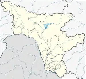
Kasatkino (Russian: Касаткино) is a rural locality (a selo) and the administrative center of Kasatkinsky Selsoviet of Arkharinsky District, Amur Oblast, Russia. The population was 242 in 2018.[2] There are 14 streets.
Geography
Kasatkino is located on the left bank of the Amur River, 66 km south of Arkhara (the district's administrative centre) by road. Novopokrovka is the nearest rural locality.[3]
References
- ↑ Карта села Касаткино в Амурской области
- ↑ "Оценка численности постоянного населения Амурской области по городам и районам". Archived from the original on 2016-04-25. Retrieved 2018-11-15.
- ↑ Расстояние от Касаткина до Архары
This article is issued from Wikipedia. The text is licensed under Creative Commons - Attribution - Sharealike. Additional terms may apply for the media files.