Kastraki
Καστρακί | |
|---|---|
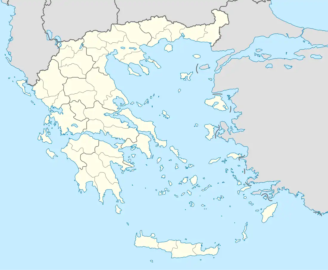 Kastraki Location within the regional unit  | |
| Coordinates: 40°35′N 21°06′E / 40.583°N 21.100°E | |
| Country | Greece |
| Administrative region | West Macedonia |
| Regional unit | Kastoria |
| Municipality | Kastoria |
| • Municipal unit | 78.4 km2 (30.3 sq mi) |
| Population (2011)[1] | |
| • Municipal unit | 560 |
| • Municipal unit density | 7.1/km2 (18/sq mi) |
| Time zone | UTC+2 (EET) |
| • Summer (DST) | UTC+3 (EEST) |
| Vehicle registration | KT |
Kastraki (Greek: Καστρακί) is a former community in Kastoria regional unit, West Macedonia, Greece. Since the 2011 local government reform it is part of the municipality Kastoria, of which it is a municipal unit.[2] The municipal unit has an area of 78.415 km2.[3] Population 560 (2011). The seat of the community was in Ieropigi. The other village in the community is Dendrochori. The village Agios Dimitrios (Labanitsa) is abandoned today.
See also
References
- ↑ "Απογραφή Πληθυσμού - Κατοικιών 2011. ΜΟΝΙΜΟΣ Πληθυσμός" (in Greek). Hellenic Statistical Authority.
- ↑ "ΦΕΚ B 1292/2010, Kallikratis reform municipalities" (in Greek). Government Gazette.
- ↑ "Population & housing census 2001 (incl. area and average elevation)" (PDF) (in Greek). National Statistical Service of Greece. Archived from the original (PDF) on 2015-09-21.
This article is issued from Wikipedia. The text is licensed under Creative Commons - Attribution - Sharealike. Additional terms may apply for the media files.