Kato Achaia
Κάτω Αχαΐα | |
|---|---|
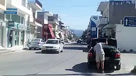 Kato Achaia main road | |
 Kato Achaia | |
| Coordinates: 38°9′N 21°33′E / 38.150°N 21.550°E | |
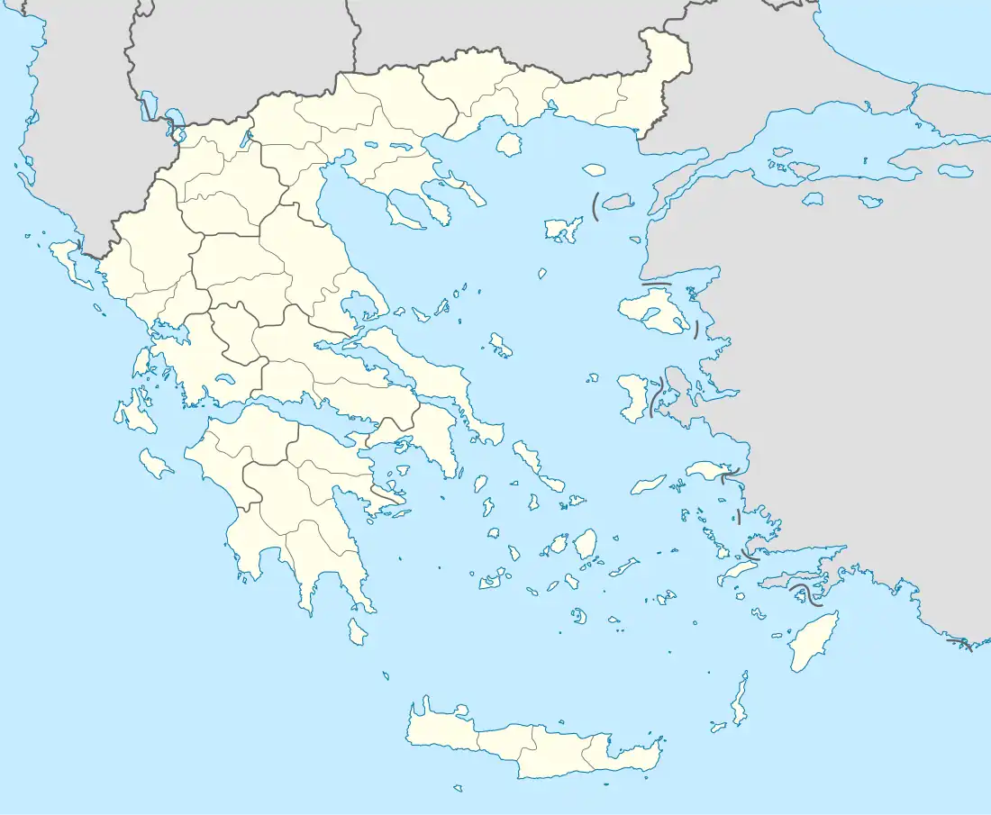
| Country | Greece |
| Administrative region | West Greece |
| Regional unit | Achaea |
| Municipality | West Achaea |
| Municipal unit | Dymi |
| Community | |
| • Population | 6,880 (2011) |
| Time zone | UTC+2 (EET) |
| • Summer (DST) | UTC+3 (EEST) |
| Vehicle registration | AX |
Kato Achaia (Greek: Κάτω Αχαΐα) is a town and a community in Achaea, West Greece, Greece. Since the 2011 local government reform it is part of the municipality West Achaea, of which it is the seat of administration.[2] The community Kato Achaia consists of the town Kato Achaia and the villages Alykes, Manetaiikia, Paralia Kato Achaias and Piso Sykea. Nearby are the ruins of the ancient city of Dyme.
Kato Achaia is located 1 km south of the Gulf of Patras and 20 km southwest of Patras. The villages Alykes and Paralia Kato Achaias are on the coast. The Greek National Road 9 (Patras - Pyrgos) passes outside the town. Kato Achaia has a train station on the partly disused Patras–Pyrgos railway. Currently, train traffic is offered between Patras and Kato Achaia.
Population history
| Year | Kato Achaia Town | Community |
|---|---|---|
| 1981 | 5,185 | - |
| 1991 | 4,947 | - |
| 2001 | 5,518 | 6,027 |
| 2011 | 6,618 | 6,880 |
Gallery
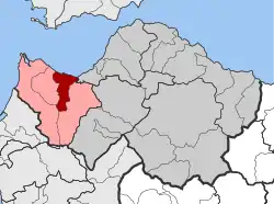 Dymi (Kato Achaia) municipal unit
 Kato Achaia beach
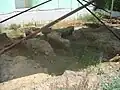 Roman archaeological findings in kato Achaia
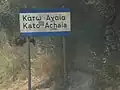 Kato Achaia
References
- ↑ "Απογραφή Πληθυσμού - Κατοικιών 2011. ΜΟΝΙΜΟΣ Πληθυσμός" (in Greek). Hellenic Statistical Authority.
- ↑ "ΦΕΚ B 1292/2010, Kallikratis reform municipalities" (in Greek). Government Gazette.