Kayırlı | |
|---|---|
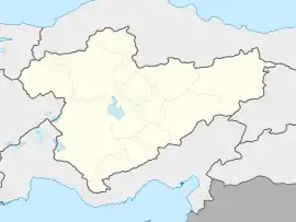
 Kayırlı Location in Turkey  Kayırlı Kayırlı (Turkey Central Anatolia) | |
| Coordinates: 38°19′N 34°30′E / 38.317°N 34.500°E | |
| Country | Turkey |
| Province | Niğde |
| District | Niğde |
| Elevation | 1,530 m (5,020 ft) |
| Population (2022) | 962 |
| Time zone | TRT (UTC+3) |
| Area code | 0388 |
Kayırlı is a village in Niğde District of Niğde Province, Turkey.[1] Its population is 962 (2022).[2] Before the 2013 reorganisation, it was a town (belde).[3] It is situated in the mountainous area around Mount Hasan. It corresponds with the ancient settlement of Andabilis. The altitude is about 1,530 metres (5,020 ft). The distance to Niğde city is about 50 kilometres (31 mi).
References
- ↑ Köy, Turkey Civil Administration Departments Inventory. Retrieved 1 March 2023.
- ↑ "Address-based population registration system (ADNKS) results dated 31 December 2022, Favorite Reports" (XLS). TÜİK. Retrieved 13 March 2023.
- ↑ Law No. 6360, Official Gazette, 6 December 2012 (in Turkish).
This article is issued from Wikipedia. The text is licensed under Creative Commons - Attribution - Sharealike. Additional terms may apply for the media files.