Ked | |
|---|---|
Village | |
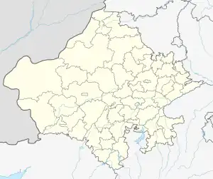
 Ked Location in Rajasthan, India  Ked Ked (India) | |
| Coordinates: 27°43′44″N 75°28′18″E / 27.72885°N 75.47156°E | |
| Country | |
| State | Rajasthan |
| District | Jhunjhunun |
| Tehsil | Udaipurwati |
| Post Office | Titanwar |
| Languages | |
| • Official | Hindi, Marwari, Rajasthani |
| Time zone | UTC+5:30 (IST) |
| PIN | 333 012 |
Ked, is a village located in Jhunjhunu district Rajasthan situated on the banks of Katli river. It was an independent State and Joint State of kekri Ruled By Pala (Gaur) Rajputs and this region is also known as Gaurati the land of Gaurs.
References
This article is issued from Wikipedia. The text is licensed under Creative Commons - Attribution - Sharealike. Additional terms may apply for the media files.