Than-Khamhria | |
|---|---|
city | |
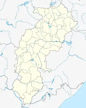 Than-Khamhria Location in Chhattisgarh, India  Than-Khamhria Than-Khamhria (India) | |
| Coordinates: 20°59′N 82°16′E / 20.98°N 82.27°E | |
| Country | |
| State | Chhattisgarh |
| District | Bemetara |
| Elevation | 332 m (1,089 ft) |
| Population (2001) | |
| • Total | 6,798 |
| Languages | |
| • Official | Hindi, Chhattisgarhi |
| Time zone | UTC+5:30 (IST) |
| Vehicle registration | CG |
Khamhria is a town and a nagar panchayat in Bemetara district in the Indian state of Chhattisgarh.
Geography
Than-Khamhria is located at 20°59′N 82°16′E / 20.98°N 82.27°E. It has an average elevation of 332 m (1,089 ft).
Demographics
As of 2001 India census,[1] Than-Khamhria had a population of 6798. Males constitute 51% of the population and females 49%. Than-Khamhria has an average literacy rate of 63%, higher than the national average of 59.5%: male literacy is 72%, and female literacy is 53%. In Than-Khamhria, 14% of the population is under 6 years of age.
References
- ↑ "Census of India 2001: Data from the 2001 Census, including cities, villages and towns (Provisional)". Census Commission of India. Archived from the original on 16 June 2004. Retrieved 1 November 2008.
This article is issued from Wikipedia. The text is licensed under Creative Commons - Attribution - Sharealike. Additional terms may apply for the media files.