| Khao Nom Nang เขานมนาง | |
|---|---|
 | |
| Highest point | |
| Elevation | 752 m (2,467 ft) |
| Coordinates | 14°21′02″N 99°12′53″E / 14.35056°N 99.21472°E |
| Geography | |
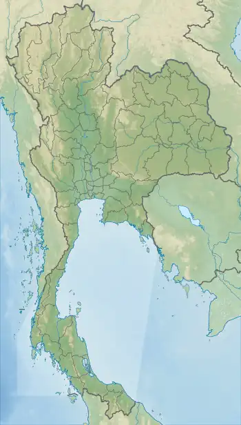
 Khao Nom Nang Location in Thailand | |
| Location | Kanchanaburi, Thailand |
| Parent range | Tenasserim Hills |
| Geology | |
| Mountain type | Limestone |
Khao Nom Nang (Thai: เขานมนาง), "female breast mountain", is a 752 metres (2,467 ft) high mountain in the Tenasserim Hills in Kanchanaburi Province, Thailand.
Description
Khao Nom Nang rises above the surrounding limestone hills between Nong Pet and Chong Sadao east of Route 3199.[1] The mountain is in the Erawan National Park area.[2]
See also
References
- ↑ Roadway Thailand Atlas, Groovy Map Co., Ltd. April 2010
- ↑ Erawan National Park Archived 2006-12-08 at the Wayback Machine
External links
This article is issued from Wikipedia. The text is licensed under Creative Commons - Attribution - Sharealike. Additional terms may apply for the media files.