Kharmang Valley
وادئ کھرمنگ | |
|---|---|
  _skardu_photo_by_me.jpg.webp)  | |
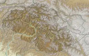
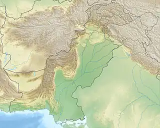
 Kharmang Valley Location within Gilgit–Baltistan  Kharmang Valley Location within Pakistan | |
| Coordinates: 34°56′40″N 76°13′21″E / 34.94444°N 76.22250°E | |
| Country | Pakistan |
| Adm. Unit | Gilgit–Baltistan |
| District | Kharmang District |
| Time zone | UTC+5 (PKT) |
The Kharmang Valley (Urdu: وادی کھرمنگ), also known as Kartaksho,[1] is one of the five main valleys situated in Gilgit–Baltistan, Pakistan.[2][3] The area became an individual district in 2015, with its temporary headquarters set at the town of Tolti.[4] The valley is located approximately 120 kilometres (75 mi) from the city of Skardu.[5]
Tourist destinations in the area include Manthokha Waterfall, Khamosh Waterfall Mehdiabad Valley and Kharmang khas valley. Kharmang is where the Indus River enters Pakistani-controlled territory from the Leh district in Indian-controlled territory.
Etymology
Kahrmang is a Balti word that consists of two parts (khar means "fort" and mang means "abundant"). The name Kharmang was given to the valley in the era of Ali Sher Khan Anchan,[6] who built many forts in this region because of its strategic importance.
Geography
According to the Gazetteer of Kashmir and Ladak (1890), Kharmang is an old ilaqa of Baltistan that consists of the right bank of Indus from the border of Ladakh to the village of Pari, and from the source of the Shingo River to the village of Tolti on the left bank of Indus.[1]
Demographics
Kharmang valley is a populated area. The approximate population is about 20,000 households (approximately 60,000 people); most of the population resides in scattered villages. The main source of income is subsistence livestock rearing for their livelihood and agriculture and unskilled man power working abroad and urban centers of Pakistan. Many Kharmang people work in Gulf countries with a majority in Kuwait, Bahrain and Saudi Arabia. Natives of Kharmang Valley speak Balti ,[Shina] and predominantly follow Shia Islam, with the exception of a few people who belong to Noorbakhshi who live around Mehdi Abad.
See also
References
- 1 2 Gazetteer of Kashmir and Ladak, Calcutta: Superintendent of Government Printing, 1890, pp. 494–495
- ↑ "Kharmang Valley | Pakistan Tourism". 2018-07-26. Archived from the original on 2018-07-26. Retrieved 2022-04-11.
{{cite web}}: CS1 maint: bot: original URL status unknown (link) - ↑ "Kharmang Weather Forecast". www.worldweatheronline.com. Retrieved 2 October 2018.
- ↑ "Kharmang now GB district". Archived from the original on 2015-11-24.
- ↑ "Kharmang on map". Google Maps. Retrieved 4 November 2019.
- ↑ "Etymology of word Kharmang". visitgilgitbaltistan.gov.pk. Retrieved 4 November 2019.