Kheragarh | |
|---|---|
city | |
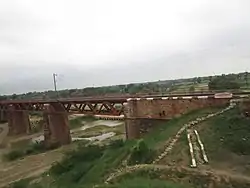 A river at Bisahara, Kheragarh, Uttar pradesh | |
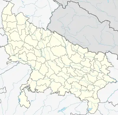 Kheragarh Location in Uttar Pradesh, India 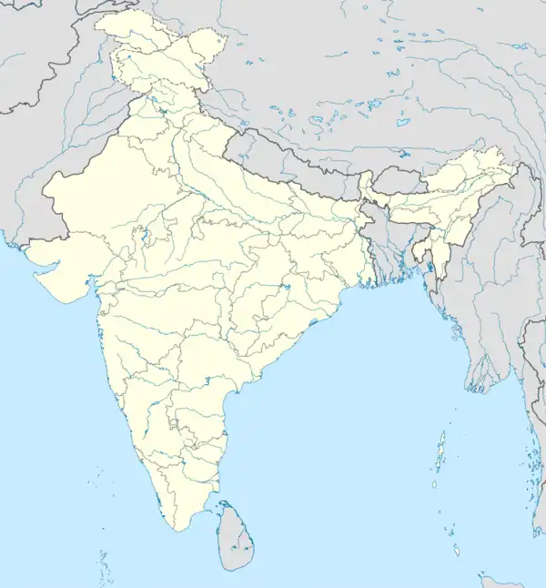 Kheragarh Kheragarh (India) | |
| Coordinates: 26°56′N 77°49′E / 26.933°N 77.817°E | |
| Country | |
| State | Uttar Pradesh |
| District | Agra |
| Population (2001) | |
| • Total | 17,859 |
| Language | |
| • Official | Hindi[1] |
| • Additional official | Urdu[1] |
| Time zone | UTC+5:30 (IST) |
| PIN | 283121 |
| Telephone code | 915613 |
| Vehicle registration | UP 80 |
Kheragarh is a town and a nagar panchayat in Agra district in the Indian state of Uttar Pradesh. The distance of the town from Agra is 40 kilometers.
Demographics
As of 2011 India census,<ref>{url=https://censusindia.gov.in/pca/SearchDetails.aspx} Kheragarh had a population of 33,045. Males constitute 54% of the population and females 46%. Kheragarh has an average literacy rate of 65.68%, lower than the national average of 74%: male literacy is 59.3%, and female literacy is 40.7%. In Kheragarh, 14.75% of the population is under 6 years of age.
River
Kheragarh is situated on the bank of river Utangan. Which merges with Parvati and Chambal rivers.
References
- 1 2 "52nd Report of the Commissioner for Linguistic Minorities in India" (PDF). nclm.nic.in. Ministry of Minority Affairs. Archived from the original (PDF) on 25 May 2017. Retrieved 26 December 2018.
This article is issued from Wikipedia. The text is licensed under Creative Commons - Attribution - Sharealike. Additional terms may apply for the media files.