Khopor
Хопор Хьопор | |
|---|---|
Selo | |
 Khopor  Khopor | |
| Coordinates: 42°21′N 46°56′E / 42.350°N 46.933°E[1] | |
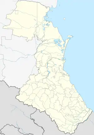
| Country | Russia |
| Region | Republic of Dagestan |
| District | Gunibsky District |
| Time zone | UTC+3:00 |
Khopor (Russian: Хопор; Avar: Хьопор) is a rural locality (a selo) in Rugudzhinsky Selsoviet, Gunibsky District, Republic of Dagestan, Russia. The population was 44 as of 2010.[2]
Geography
Khopor is located 14 km southwest of Gunib (the district's administrative centre) by road, on the Shabil-Alitl River. Khutni and Rugudzha are the nearest rural localities.[3]
References
- ↑ Хутор Хопор на карте
- ↑ "Всероссийская перепись населения 2010 года. Таблица № 11. Численность населения городских округов, муниципальных районов, городских и сельских поселений, городских и сельских населённых пунктов Республики Дагестан". Archived from the original on 2013-12-24. Retrieved 2020-08-16.
- ↑ Расстояние от Хопора до Гуниба 14 км
This article is issued from Wikipedia. The text is licensed under Creative Commons - Attribution - Sharealike. Additional terms may apply for the media files.