Khotin
Хотінь | |
|---|---|
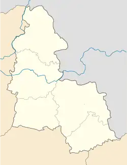 Khotin Location in Sumy Oblast 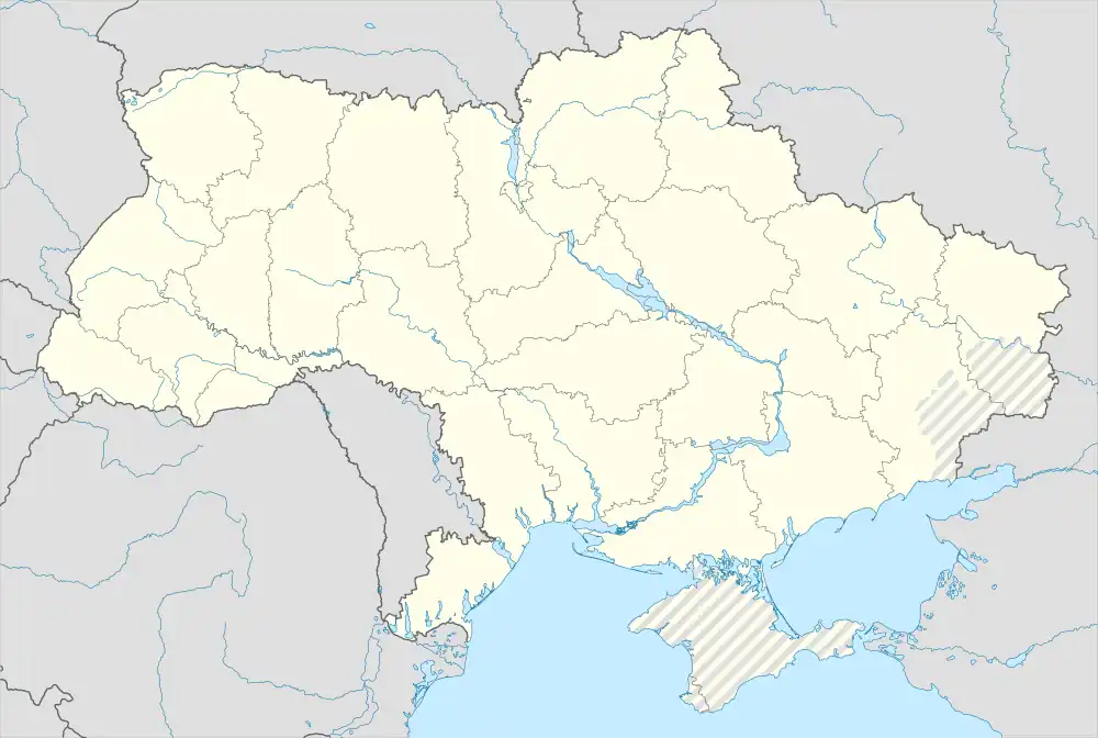 Khotin Location in Ukraine | |
| Coordinates: 51°04′32″N 34°46′35″E / 51.07556°N 34.77639°E | |
| Country | |
| Oblast | Sumy Oblast |
| Raion | Sumy Raion |
| Population (2022) | |
| • Total | 2,290 |
| Time zone | UTC+2 (EET) |
| • Summer (DST) | UTC+3 (EEST) |
Khotin (Ukrainian: Хотінь, Russian: Хотень) is an urban-type settlement in Sumy Raion, Sumy Oblast, Ukraine. It is located on the banks of the Oleshnia, a right tributary of the Psel in the drainage basin of the Dnieper. Khotin hosts the administration of Khotin settlement hromada, one of the hromadas of Ukraine.[1] Population: 2,290 (2022 estimate).[2]
Economy
Transportation
The settlement has access to Highway H07 which runs south to Sumy, Romny, and Kyiv. The same highway runs north to the Russian border and across the border to Sudzha and Kursk.
References
- ↑ "Хотинская громада" (in Russian). Портал об'єднаних громад України.
- ↑ Чисельність наявного населення України на 1 січня 2022 [Number of Present Population of Ukraine, as of January 1, 2022] (PDF) (in Ukrainian and English). Kyiv: State Statistics Service of Ukraine. Archived (PDF) from the original on 4 July 2022.
This article is issued from Wikipedia. The text is licensed under Creative Commons - Attribution - Sharealike. Additional terms may apply for the media files.