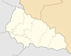
Khust urban hromada
Хустська міська громада | |
|---|---|
Hromada | |
 Khust urban hromada  Khust urban hromada | |
| Coordinates: 48°10′53″N 23°17′52″E / 48.18139°N 23.29778°E | |
| Country | |
| Oblast (province) | |
| Raion (district) | Khust Raion |
| Area | |
| • Total | 402.3 km2 (155.3 sq mi) |
| Population (2023) | |
| • Total | 80,858 |
| Website | khust-miskrada |
Khust urban territorial hromada (Ukrainian: Хустська міська територіальна громада, romanized: Khustska miska terytorialna hromada) is one of the hromadas of Ukraine, located in the country's western Zakarpattia Oblast. Its administrative centre is the city of Khust.[1]
Khust urban hromada has a total area of 402.3 km2 (155.3 sq mi), and also has a population of 80,858 (as of 2023).[1]
Settlements
In addition to one city (Khust), the following 27 villages are also part of the hromada:[2]
- Boroniava
- Vertep
- Danylovo
- Zalom
- Zarichne
- Iza
- Karpovtlash
- Kireshi
- Kopashnovo
- Koshelovo
- Krainie
- Krainykovo
- Kryva
- Kryvyi
- Lypovets
- Lypcha
- Lunka
- Nankovo
- Nyzhnie Selyshche
- Oleksandrivka
- Osava
- Poliana
- Rokosovo
- Sokyrnytsia
- Steblivka
- Khustets
- Chertizh
References
- 1 2 "Хустська територіальна громада" [Khust territorial hromada]. decentralization.gov.ua (in Ukrainian). Retrieved 29 April 2023.
- ↑ "Склад громади" [Hromada composition]. decentralization.gov.ua (in Ukrainian). Retrieved 29 April 2023.
This article is issued from Wikipedia. The text is licensed under Creative Commons - Attribution - Sharealike. Additional terms may apply for the media files.