| Kimsa Chata | |
|---|---|
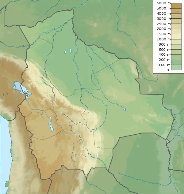
 Kimsa Chata Location in Bolivia | |
| Highest point | |
| Elevation | 4,648 m (15,249 ft)[1] |
| Coordinates | 18°6′35″S 67°39′44″W / 18.10972°S 67.66222°W[2] |
| Geography | |
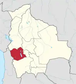
| Location | Bolivia, Oruro Department, Carangas Province |
| Parent range | Andes |
Kimsa Chata (Aymara and Quechua kimsa three,[3] Pukina chata mountain,[4] "three mountains", hispanicized spellings Quimsa Chata, Quimsachata, Quinsa Chata) is a mountain in the Andes of Bolivia, about 4,648 m (15,249 ft) high. It is one of the highest elevations of the Waylla Marka mountain range that runs down from Waylla Marka (Huayllamarca) to Qhurqhi (Corque) west of Uru Uru Lake. Kimsa Chata is located in the Oruro Department, Carangas Province, Qhurqhi Municipality, Tarukachi Canton,[5] or on the border of the Carangas Province and the Saucari Province.[6]
References
- ↑ lib.utexas.edu Map of the area
- ↑ mapcarta.com "Cerro Quinsa Chata", retrieved on February 18, 2013
- ↑ www.katari.org Aymara-Spanish dictionary: Kimsa (adj.) - Número Tres.
- ↑ Teofilo Laime Ajacopa, Lengua Pukina en Jesús de Machaca, referring to Alfredo Torero ("Reflexión acerca del pukina escrito por Alfredo Torero ... Pukina <Chata> - Castellano Cerro - Palabras relacionadas en aymara Qullu") (English: mountain). ... Existencia de palabras pukinas en Jesús de Machaca: Qullunaka (cerros): Kimsa Chata
- ↑ Toledo Municipality (= Saucari Province): population data and map showing Kimsa Chata outside Toledo Municipality in Tarukachi Canton
- ↑ Qhurqhi Municipality: population data and map showing Kimsa Chata on the border of Carangas Province and Saucari Province
This article is issued from Wikipedia. The text is licensed under Creative Commons - Attribution - Sharealike. Additional terms may apply for the media files.
