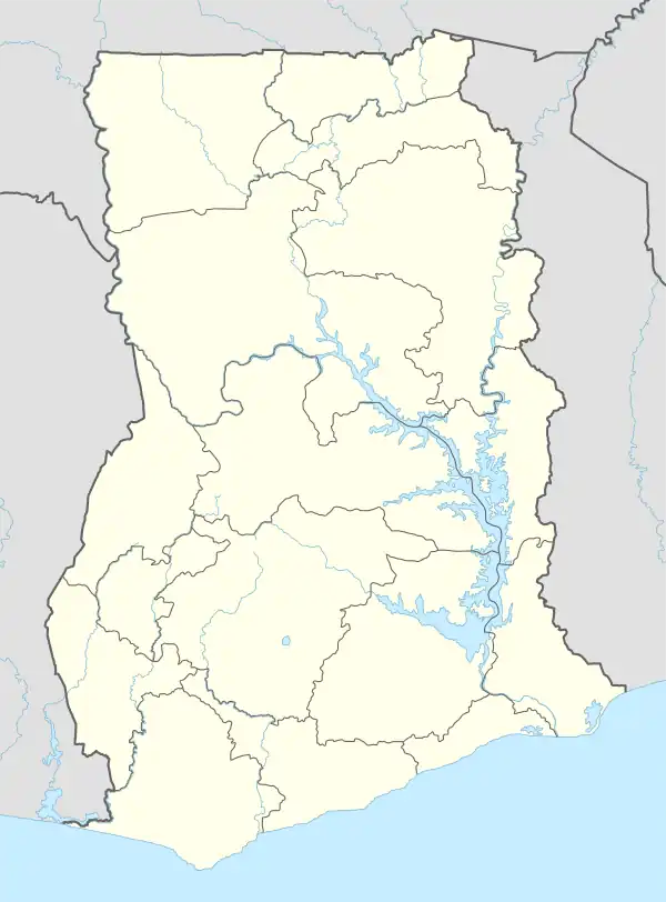
Kintampo South District | |
|---|---|
.svg.png.webp) Districts of Brong-Ahafo Region | |
 Kintampo South District Location of Kintampo South District within Brong-Ahafo | |
| Coordinates: 7°53′52.8″N 1°46′15.6″W / 7.898000°N 1.771000°W | |
| Country | |
| Region | |
| Capital | Jema |
| Government | |
| • District Executive | Kojo Nyame Datiakwa |
| Area | |
| • Total | 1,510 km2 (580 sq mi) |
| Population (2021) | |
| • Total | 89,126[1] |
| Time zone | UTC+0 (GMT) |
Kintampo South District is one of the eleven districts in Bono East Region, Ghana.[2][3][4] Originally it was formerly part of the then-larger Kintampo District on 10 March 1989, until the southern part of the district was split off to create Kintampo South District on 12 November 2003 (effectively 17 February 2004); thus the remaining part has been renamed as Kintampo North District; which it was later elevated to municipal district assembly status on 1 November 2007 (effecitvely 29 February 2008) to become Kintampo North Municipal District. The district assembly is located in the northern part of Bono East Region and has Jema as its capital town.
List of settlements
| Settlements of Kintampo South District | |||
| No. | Settlement | Population | Population year |
|---|---|---|---|
| 1 | Agyina (Ajina) | ||
| 2 | Amoma | ||
| 3 | Ampoma | ||
| 4 | Anyima | ||
| 5 | Apesika | ||
| 6 | Chirehin | ||
| 7 | Jema | ||
| 8 | Krabonso | ||
| 9 | Nante | ||
| 10 | Ntankoro | ||
| 11 | Pramposo | ||
Sources
- "Kintampo South District". Statoids.
- District: Kintampo South District
- 19 New Districts Created Archived 2011-02-02 at the Wayback Machine, November 20, 2003.
References
- ↑ Ghana: Administrative Division
- ↑ Bureau, Communications. ""Bono East Officially Created; Techiman Is Capital" – President Akufo-Addo". presidency.gov.gh. Retrieved 2020-08-13.
- ↑ "The 11 Districts of the Bono East Region". banewsgh.com. 13 February 2019. Archived from the original on 18 April 2021. Retrieved 13 February 2019.
- ↑ Effah-Yeboah, Fred. "TUOBODOM MY BELOVED TOWN". Modern Ghana. Modern Ghana. Retrieved 31 January 2015.
This article is issued from Wikipedia. The text is licensed under Creative Commons - Attribution - Sharealike. Additional terms may apply for the media files.