| Kirchlispitzen | |
|---|---|
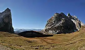 The Kirchlispitzen (right) from Schweizertor (east side) | |
| Highest point | |
| Elevation | 2,552 m (8,373 ft) |
| Prominence | 313 m (1,027 ft)[1] |
| Parent peak | Schesaplana |
| Isolation | 2 km (1.2 mi) |
| Coordinates | 47°02′20″N 9°46′07″E / 47.03889°N 9.76861°E |
| Geography | |
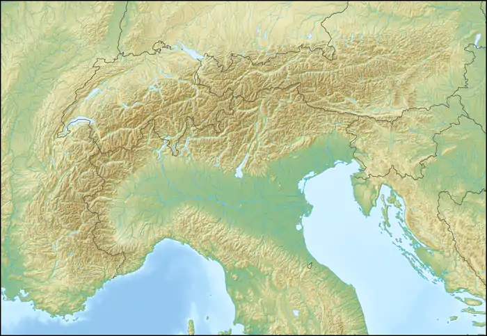 Kirchlispitzen Location in the Alps | |
| Location | Vorarlberg, Austria Graubünden, Switzerland |
| Parent range | Rätikon |
The Kirchlispitzen (2,552 m) is a mountain in the Rätikon range of the Alps, located on the border between Austria and Switzerland. It overlooks the Lünersee on its northern side.
References
External links
 Media related to Kirchlispitzen at Wikimedia Commons
- Kirchlispitzen on Hikr
This article is issued from Wikipedia. The text is licensed under Creative Commons - Attribution - Sharealike. Additional terms may apply for the media files.