 USGS aerial imagery of Knight Island | |
 Knight Island  Knight Island  Knight Island | |
| Geography | |
|---|---|
| Location | Northern California |
| Coordinates | 38°08′09″N 122°17′58″W / 38.13583°N 122.29944°W[1] |
| Adjacent to | Napa River |
| Highest elevation | 3 ft (0.9 m)[1] |
| Administration | |
United States | |
| State | |
| County | Solano |

Knight Island as it appears on a 1951 USGS topographic map.
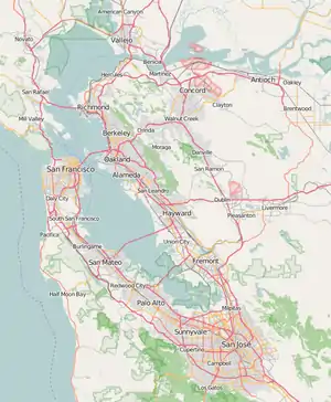
Knight Island is a mostly-submerged island in the Napa River, upstream of San Pablo Bay (an embayment of San Francisco Bay).[2][3][4] It is in Solano County, California, and managed as part of the Napa-Sonoma Marshes Wildlife Area.[5][6] Its coordinates are 38°08′09″N 122°17′58″W / 38.13583°N 122.29944°W[1], and the United States Geological Survey measured its elevation as 3 ft (0.91 m) in 1981.[1]
References
- 1 2 3 4 U.S. Geological Survey Geographic Names Information System: Knight Island
- ↑ California State Automobile Association (1999). San Francisco Bay Region (Map). 1:190,000. American Automobile Association.
- ↑ "Salt plant will involve expenditure of $3,500,000". The Napa Valley Register. Napa, California. 1952-05-14. p. 16.
- ↑ "In Days Gone By: 25 Years Ago". The Napa Valley Register. Napa, California. 1975-07-24. p. 4.
- ↑ "Directional Map Napa-Sonoma Marshes Wildlife Area". California Department of Fish and Wildlife, Bay Delta Region. May 2019. Archived from the original on 23 April 2020. Retrieved 26 February 2021.
- ↑ URS Corporation (May 2019). "Napa-Sonoma Marshes Wildlife Area Land Management Plan". California Department of Fish and Game. Retrieved 26 February 2021.
This article is issued from Wikipedia. The text is licensed under Creative Commons - Attribution - Sharealike. Additional terms may apply for the media files.


