Kołodziejewo | |
|---|---|
Village | |
 | |
 Kołodziejewo | |
| Coordinates: 52°42′N 18°1′E / 52.700°N 18.017°E | |
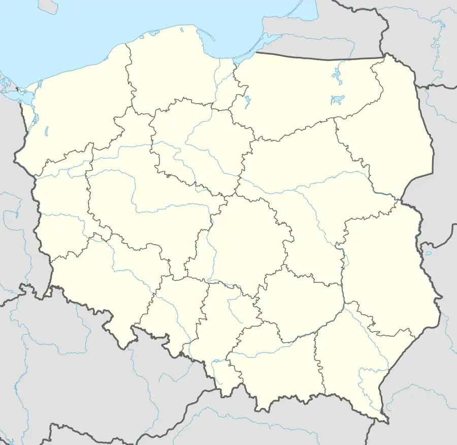
| Country | |
| Voivodeship | Kuyavian-Pomeranian |
| County | Inowrocław |
| Gmina | Janikowo |
| Population | 808 |
| Website | http://www.janikowo.com.pl/pub/kolodziejewo |
Kołodziejewo [kɔwɔd͡ʑɛˈjɛvɔ] is a village in the administrative district of Gmina Janikowo, within Inowrocław County, Kuyavian-Pomeranian Voivodeship, in north-central Poland.[1] It lies approximately 8 kilometres (5 mi) south-west of Janikowo, 20 km (12 mi) south-west of Inowrocław, 47 km (29 mi) south of Bydgoszcz, and 55 km (34 mi) south-west of Toruń.
History
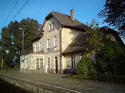
The first source mention of Kołodziejewo comes from 1379. There was a farm in the village. The town owes its development to the construction of the railway in 1872-1873. Passenger trains have stopped here since 1895. In 1905, a station was built, which still exists today and still serves its original function. The construction of the school was also completed in the same year. In 1908, an Evangelical church was built here, which now belongs to the Roman Catholic Church. From 1772 (1st partition of Poland) to March 6, 1919 and during the Nazi occupation of 1939-1945, Kołodziejewo had the German name Altraden.
Monuments
According to the NID register of monuments, the manor complex, late 19th century, reg. no.: 186/A of January 15, 1986, is included in the list of monuments: manor house and park.
Additionally, in Kołodziejewo there is a church from 1908, a railway station from 1905 and residential buildings from the early 20th century.
References
| Town and seat |  | |
|---|---|---|
| Villages | ||