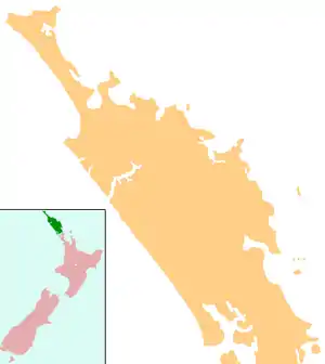
Kokopu | |
|---|---|
 Kokopu | |
| Coordinates: 35°42′24″S 174°8′42″E / 35.70667°S 174.14500°E | |
| Country | New Zealand |
| Region | Northland Region |
| District | Whangarei District |
Kokopu is a locality in Northland, New Zealand. Whangarei lies about 20 km to the east.[1]
Education
Kokopu School is a coeducational full primary (years 1–8) school with a decile rating of 9 and a roll of 95.[2] The school was established in 1914, and for the first twenty years it operated half-time, sharing its teacher with Kara School.[3]
Notes
- ↑ Roger Smith, GeographX (2005). The Geographic Atlas of New Zealand. Robbie Burton. pp. map 24. ISBN 1-877333-20-4.
- ↑ "Te Kete Ipurangi - Kokopu School". Ministry of Education. Archived from the original on 29 September 2007. Retrieved 15 April 2008.
- ↑ McConnell, Gordon. "History of the Kokopu School". Kokopu School. Archived from the original on 14 October 2008. Retrieved 15 April 2008.
External links
This article is issued from Wikipedia. The text is licensed under Creative Commons - Attribution - Sharealike. Additional terms may apply for the media files.