Kolaras
Kabilashpur Kabilashpur | |
|---|---|
city | |
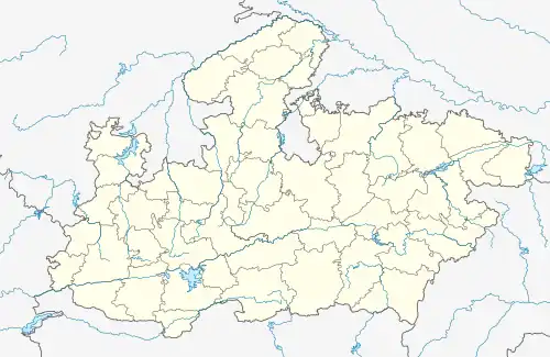
 Kolaras Location in Madhya Pradesh, India  Kolaras Kolaras (India) | |
| Coordinates: 25°14′N 77°36′E / 25.23°N 77.6°E | |
| Country | |
| State | Madhya Pradesh |
| District | Shivpuri |
| Elevation | 460 m (1,510 ft) |
| Population (2001) | |
| • Total | 15,674 |
| Languages | |
| • Official | Hindi |
| Time zone | UTC+5:30 (IST) |
| ISO 3166 code | IN-MP |
| Vehicle registration | MP-33 |
Kolaras is a town and a nagar parishad in Shivpuri district in the Indian state of Madhya Pradesh. Kolaras is located on NH3 (Agra bomabay highway) presently called NH46. It is religious city and famous with name mini vrindavan.
Geography
Kolaras is located at 25°14′N 77°36′E / 25.23°N 77.6°E.[1] It has an average elevation of 460 metres (1,509 feet).
Demographics
As of 2001 India census,[2] Kolaras had a population of 15,674. Males constitute 53% of the population and females 47%. Kolaras has an average literacy rate of 58%, lower than the national average of 59.5%: male literacy is 67%, and female literacy is 47%. In Kolaras, 17% of the population is under 6 years of age.
Transport
Kolaras railway station is situated at Kolaras town on Indore–Gwalior line under the Bhopal railway division.[3]
References
- ↑ Falling Rain Genomics, Inc - Kolaras
- ↑ "Census of India 2001: Data from the 2001 Census, including cities, villages and towns (Provisional)". Census Commission of India. Archived from the original on 16 June 2004. Retrieved 1 November 2008.
- ↑ karthik. "Kolaras Railway Station Map/Atlas WCR/West Central Zone - Railway Enquiry". indiarailinfo.com. Retrieved 22 July 2021.