Komba | |
|---|---|
Village | |
 Komba | |
| Coordinates: 2°53′15″N 23°58′59″E / 2.8875675°N 23.9830001°E | |
| Country | Democratic Republic of the Congo |
| Province | Bas-Uélé |
| Territory | Aketi Territory |
Komba is a village in the Bas-Uélé province of the Democratic Republic of the Congo. It was a junction on the defunct Vicicongo line, a railway.
Location
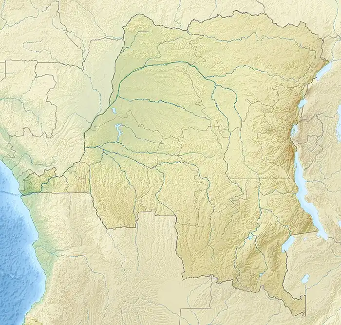
Komba is in the Aketi Territory of Bas-Uélé province, Democratic Republic of the Congo. It is on the RN6 road between Aketi to the west and Dulia to the east. From there the RN4 runs north to Likati.[1][2] Komba is at an elevation of 403 metres (1,322 ft).[3]
Former railway
The 30 kilometres (19 mi) section of the Vicicongo line from Aketi, built by the Société des Chemins de Fer Vicinaux du Congo, reached Komba in July 1926. The 57 kilometres (35 mi) section from Komba to Likati was opened on 1 January 1927. The 101 kilometres (63 mi) section from Komba to Buta was opened on 1 July 1931.
Notes
Sources
- Découpage administratif de la République Démocratique du Congo (PDF), Référentiel Géographique Commun - RGC, archived from the original (PDF) on 1 April 2010, retrieved 27 March 2021
- "Komba", geonames, retrieved 2021-03-27
- "Node: Komba (655978452)", OpenStreetMap, retrieved 2021-03-27
This article is issued from Wikipedia. The text is licensed under Creative Commons - Attribution - Sharealike. Additional terms may apply for the media files.