| Kongō-Ikoma-Kisen Quasi-National Park | |
|---|---|
| 金剛生駒紀泉国定公園 | |
5.jpg.webp) | |
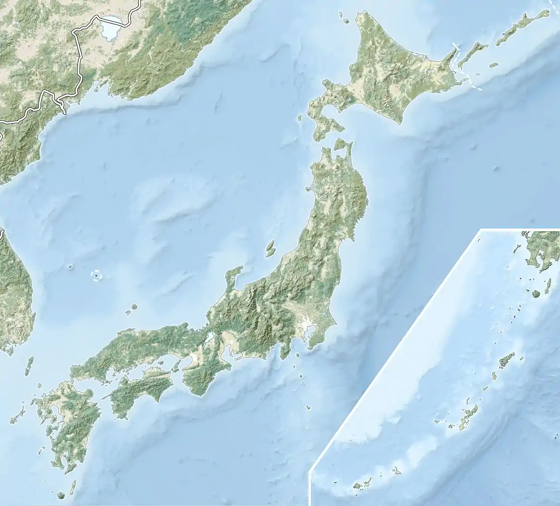
 Map of Japan | |
| Location | Kansai, Japan |
| Coordinates | 34°27′40″N 135°41′35″E / 34.461°N 135.693°E[1] |
| Area | 231.19 km2 (89.26 sq mi) |
| Established | 10 April 1958 |

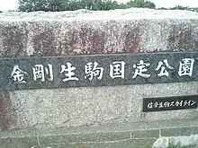
This is the monument which indicate this place is Kongō-Ikoma-Kisen Quasi-National Park.
Kongō-Ikoma-Kisen Quasi-National Park (金剛生駒紀泉国定公園, Kongō-Ikoma-Kisen Kokutei Kōen) is a Quasi-National Park in Nara, Ōsaka, and Wakayama Prefectures, Japan. It was established in 1958.[2][3]
Places of interest
- Mount Ikoma, Mount Kongō, Shijōnawate Jinja (四條畷神社), Chōgosonshi-ji (朝護孫子寺), Hōzan-ji, Taima-dera, Kongō-ji (金剛寺), the burial place of Shōtoku Taishi, the ruins of Akasaka Castle (赤坂城), Chihaya Castle[4][5][6]
Related municipalities
See also
References
- ↑ "Kongo - Ikoma - Kisen Quasi National Park". protectedplanet.net.
- ↑ "金剛生駒紀泉国定公園". Ministry of the Environment. Archived from the original on 18 March 2012. Retrieved 2 February 2012.
- ↑ "丹後天橋立大江山/明治の森箕面/金剛生駒紀泉/氷ノ山後山那岐山". National Parks Association of Japan. Retrieved 2 February 2012.
- 1 2 "Kongō-Ikoma-Kisen Quasi-National Park". Nara Prefecture. Retrieved 2 February 2012.
- ↑ "Kongō-Ikoma-Kisen Quasi-National Park". Ōsaka Prefecture. Retrieved 2 February 2012.
- ↑ "Kongō-Ikoma-Kisen Quasi-National Park". Wakayama Prefecture. Archived from the original on 31 August 2015. Retrieved 2 February 2012.
- 1 2 "Map of parks in Wakayama Prefecture" (PDF). Wakayama Prefecture. Archived from the original (PDF) on 3 March 2016. Retrieved 2 February 2012.
External links
 Media related to Kongo-Ikoma-Kisen Quasi-National Park at Wikimedia Commons
- (in Japanese) Map of the parks of Nara Prefecture
- (in Japanese) Map of the parks of Wakayama Prefecture
This article is issued from Wikipedia. The text is licensed under Creative Commons - Attribution - Sharealike. Additional terms may apply for the media files.
.jpg.webp)