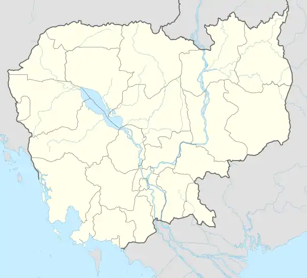
Kong Pisei
ស្រុកគងពិសី | |
|---|---|
 Kong Pisei Location in Cambodia | |
| Coordinates: 11°22′N 104°39′E / 11.367°N 104.650°E | |
| Country | |
| Province | Kampong Speu |
| Communes | 13 |
| Villages | 250 |
| Population (1998)[1] | |
| • Total | 97,006 |
| Time zone | +7 |
| Geocode | 0503 |
Kong Pisei District (Khmer: ស្រុកគងពិសី) is a district located in Kampong Speu Province, in central Cambodia.
It is home to a Wing Star Shoes factory.[2]
In 2016, plans were announced for the construction of a "Chinese-funded agricultural special economic zone (SEZ) with facilities to research plant diseases."[3] Also in 2016, damage to the Ou Treng reservoir caused flooding along National Route 3. The flood was caused by "three days of heavy rain and the release of water from the 7 Makara reservoir downstream from Kampong Speu province through the Prek Tnort river."[4]
In February 2019, the Cambodian Mine Action Centre (CMAC) was called in to dispose of a 340 kg US M117 bomb that was discovered in Chamkar Doung village.[5]
Administration
Kong Pisei District is subdivided into 13 communes (khum)[6]
| Khum (Commune) | Phum (Villages) |
|---|---|
| 050301 Angk Popel Commune | |
| 050302 Chongruk Commune | |
| 050303 Moha Ruessei Commune | |
| 050304 Pechr Muni Commune | |
| 050305 Preah Nipean Commune | |
| 050306 Prey Nheat Commune | |
| 050307 Prey Vihear Commune | |
| 050308 Roka Kaoh Commune | |
| 050309 Sdok Commune | |
| 050310 Snam Krapeu Commune | |
| 050311 Srang Commune | |
| 050312 Tuek L'ak Commune | |
| 050313 Veal Commune | |
References
- ↑ General Population Census of Cambodia, 1998: Village Gazetteer. National Institute of Statistics. February 2000. pp. 94–99.
- ↑ Mom Kunthear (2018-10-21). "Dozens of workers faint at shoe factory". Khmer Times. Retrieved 2019-02-18.
- ↑ Sok Chan (2016-10-19). "Chinese Firm to Build $2 Bil Agriculture SEZ". Khmer Times. Retrieved 2019-02-18.
- ↑ Ros Chanveasna (2016-10-17). "Floods Hit Kampong Speu and Phnom Penh". Khmer Times. Retrieved 2019-02-18.
- ↑ Vichea, Pang (2019-02-13). "CMAC officials inspect 340kg American bomb in Kampong Speu province". Phnom Penh Post. Retrieved 2019-02-18.
- ↑ National Institute of Statistics Archived 2008-07-14 at the Wayback Machine
External links
11°22′N 104°39′E / 11.367°N 104.650°E
