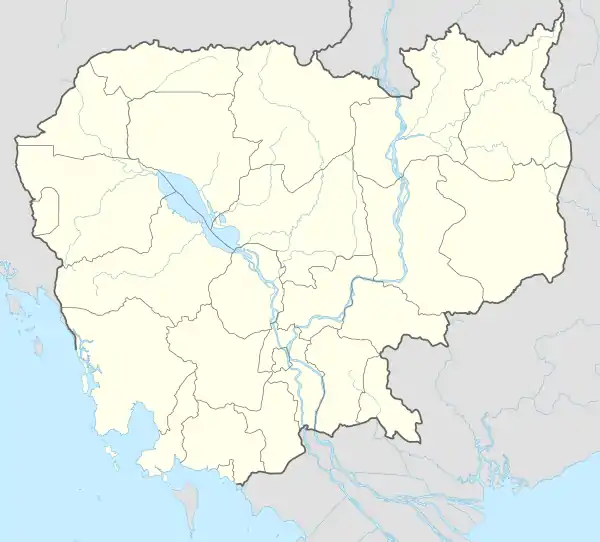
Rovieng
រវៀង រវៀង | |
|---|---|
| Nickname: រវៀង | |
 Rovieng Location in Cambodia | |
| Coordinates: 13°30′N 104°50′E / 13.500°N 104.833°E | |
| Country | |
| Province | Preah Vihear |
| Time zone | +7 |
| Geocode | 1305 |
Rovieng District is a district located in Preah Vihear Province, in northern Cambodia. According to the 1998 census of Cambodia, it had a population of 26,552.[1]
Administration
The following table shows the villages of Rovieng district by commune.
| Khum (Communes) | Phum (Villages) |
|---|---|
| Robieb | Rovieng Cheung, Tnaot Mlu, Tang Trak, Bak Kdaong, Boeng, Ou |
| Reaksmei | Damnak Chen, Ta Tong, Chambak Ph'aem, Trapeang Ruessei |
| Rohas | Thkaeng, Kampot, Sangkae Rung, Kak Poun, Chamlang, Anlong Svay |
| Rung Roeang | Thnal Kaeng, Rovieng Tboung, Boh Pey, Srae Thum |
| Rik Reay | Pal Hal, Boh, Doung |
| Ruos Roan | Chhnuon, Tonloab, Ruessei Srok |
| Rotanak | Ker, Khnar, Samreth, Samprieng, Prey Snuol |
| Rieb Roy | Slaeng Toul, Srae, Bangkan |
| Reaksa | Doun Ma, Samraong, Preal, Kak Poun, Rumdaoh, Sanlung Chey, Poleakkam, Sralau Sraong |
| Rumdaoh | Thnal Kaong, Svay Pat, Kouk Ampil, Ovloek |
| Romtum | Trapeang Totuem, Ou Talaok, Tuol Rovieng, Bangkaeun Phal, Svay Damnak Chas, Svay Damnak Thmei |
| Romoneiy | Rumchek, Ou Pour, Chi Aok, Phnum Daek, Srae Thnong |
References
- ↑ "General Population Census of Cambodia 1998, Final Census Results" (PDF). National Institute of Statistics, Ministry of Planning, Cambodia. August 2002. Retrieved 2010-11-25. See page 184.
13°30′N 104°50′E / 13.500°N 104.833°E
This article is issued from Wikipedia. The text is licensed under Creative Commons - Attribution - Sharealike. Additional terms may apply for the media files.
