Korhogo Airport | |||||||||||
|---|---|---|---|---|---|---|---|---|---|---|---|
| Summary | |||||||||||
| Airport type | Public | ||||||||||
| Serves | Korhogo | ||||||||||
| Elevation AMSL | 1,214 ft / 370 m | ||||||||||
| Coordinates | 9°23′14″N 5°33′24″W / 9.38722°N 5.55667°W | ||||||||||
| Map | |||||||||||
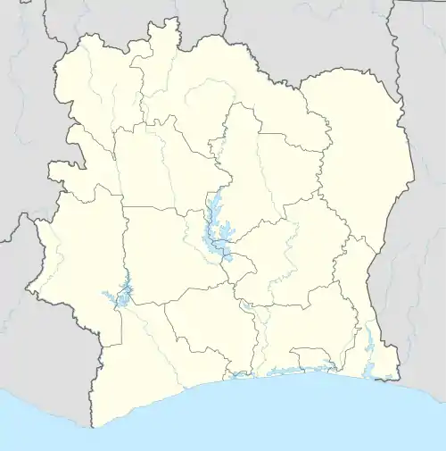 Korhogo | |||||||||||
| Runways | |||||||||||
| |||||||||||
Source: Google Maps[1] | |||||||||||
Korhogo Airport (IATA: HGO, ICAO: DIKO) is an airport serving Korhogo, Côte d'Ivoire. It is the country's fifth biggest airport.
Airlines and destinations
| Airlines | Destinations |
|---|---|
| Air Côte d'Ivoire | Abidjan |
See also
References
- OurAirports - Korhogo
- Great Circle Mapper - Korhogo
- Google Earth
This article is issued from Wikipedia. The text is licensed under Creative Commons - Attribution - Sharealike. Additional terms may apply for the media files.