Kostel | |
|---|---|
Village | |
 Kostel  Kostel | |
| Coordinates: 46°11′02″N 15°43′32″E / 46.183987°N 15.725673°E | |
| Country | |
| County | Krapina-Zagorje County |
| Municipality | Pregrada |
| Area | |
| • Total | 3.7 km2 (1.4 sq mi) |
| Population (2021)[2] | |
| • Total | 119 |
| • Density | 32/km2 (83/sq mi) |
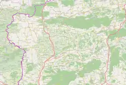
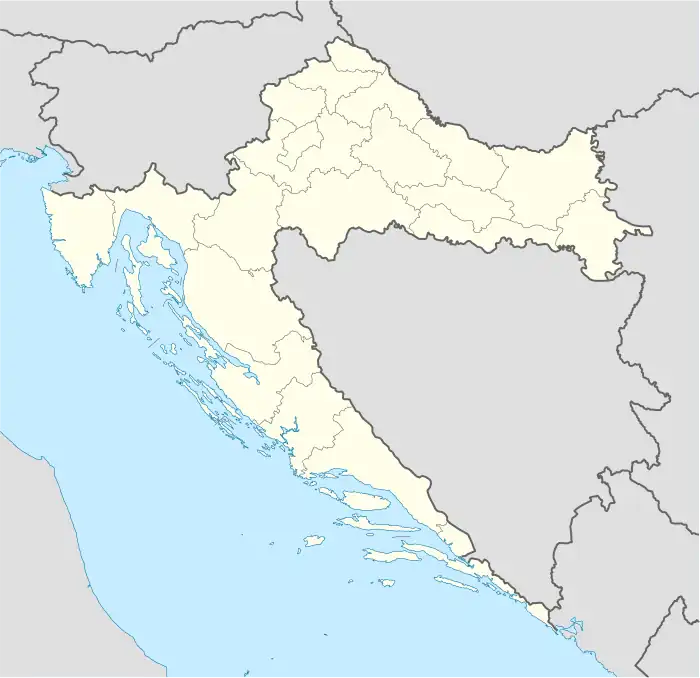
Kostel is a village in northern Croatia. It is located just south of the D206 connecting Pregrada to Hum na Sutli. Two nearby villages, Kostelsko and Bregi Kostelski have the same name root.
References
- ↑ Register of spatial units of the State Geodetic Administration of the Republic of Croatia. Wikidata Q119585703.
- ↑ "Population by Age and Sex, by Settlements, 2021 Census". Census of Population, Households and Dwellings in 2021. Zagreb: Croatian Bureau of Statistics. 2022.
This article is issued from Wikipedia. The text is licensed under Creative Commons - Attribution - Sharealike. Additional terms may apply for the media files.