| Kotohiki Park | |
|---|---|
| 琴弾公園 | |
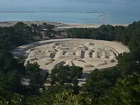
 Zenigata suna-e (origins in 1633) | |
 Kotohiki Park  Kotohiki Park (Japan) | |
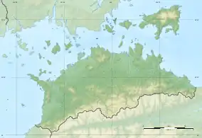
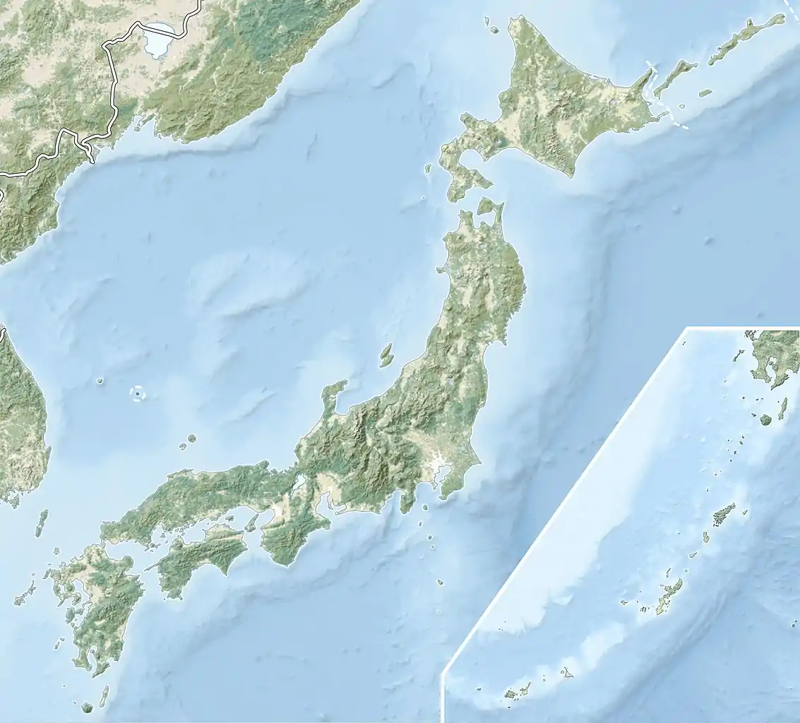
| Location | Kan'onji, Kagawa, Japan |
| Coordinates | 34°08′01″N 133°38′32″E / 34.13361°N 133.64222°E |
| Area | 47 hectares |
| Established | 1897 |
| Governing body | Kagawa Prefecture |
Kotohiki Park (琴弾公園, Kotohiki kōen) is a city park located in the city of Kan'onji, Kagawa Prefecture, Japan on the island of Shikoku. It is located within the borders of the Setonaikai National Park. The park is famous for its Zenigata suna-e (銭形砂絵) (lit. 'coin-shaped sand-drawing'), dating in origins to 1633 when it was created by the local people to greet their new daimyō Ikoma Takatoshi;[1] Its gardens were designed by gardener Ozawa Keijiro and are noted for cherry blossoms, azaleas, wisteria, and camellias.[2]
Kotohiki Park opened as a prefectural park in 1897. It was nationally designated as a Place of Scenic Beauty in 1936.[3]
The park is located near Jinne-in (神恵院) and Kannon-ji (観音寺), temples 68 and 69 of the Shikoku 88 temple pilgrimage;[4] Kotohiki Hachiman-gū; and the pine-clad Ariake beach.
See also
References
- ↑ Hello Japan Zenigata Sand Painting (Kotohiki Park). Retrieved: 04 July 2018.
- ↑ "琴弾公園". Kan'onji City. Archived from the original on 20 February 2015. Retrieved 8 February 2012.
- ↑ "琴弾公園". Agency for Cultural Affairs. Retrieved 8 February 2012.
- ↑ Miyata, Taisen (2006). The 88 Temples of Shikoku Island, Japan. Koyasan Buddhist Temple, Los Angeles. pp. 123f.